Monrovia, Residential city in Los Angeles County, United States
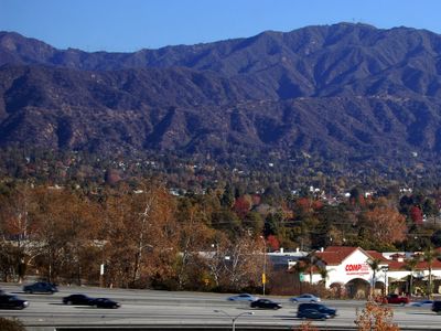
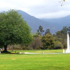
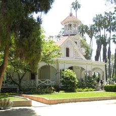
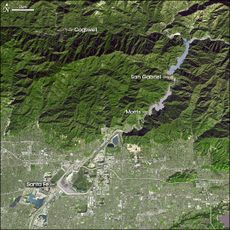
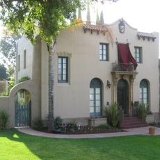
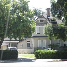
Monrovia is a city in Los Angeles County, California, stretching along the foothills of the San Gabriel Mountains and marked by residential neighborhoods with old trees and historic buildings. The area sits at roughly 174 meters elevation and borders directly on nature reserves and trails in the mountains.
William Monroe founded the Monrovia Land and Water Company in 1887 to develop the new settlement and bring water from the mountains. The city became one of the oldest incorporated towns in the county and grew slowly with the arrival of the railroad.
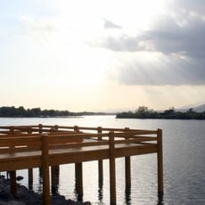
The name recalls the nineteenth-century founder Monroe, while today residents walk the shaded streets and visit local shops. Trails lead directly from the city edge into the mountains and are regularly used by locals who go for walks or jogs.
Visitors can walk in the public parks or use the nearby trails that lead into the mountains and are often busy already in the early morning. The center offers restaurants and small shops that are open during the day and are reachable on foot.
Black bears regularly come down from the adjacent mountains and roam through the residential neighborhoods, where they sometimes search through garbage bins at night. Residents have learned to lock doors and garages, as the animals have become familiar with human proximity.
The community of curious travelers
AroundUs brings together thousands of curated places, local tips, and hidden gems, enriched daily by 60,000 contributors worldwide.