La Habra Heights, city in Los Angeles County, California, United States
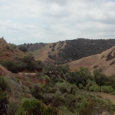
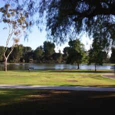
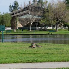
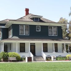
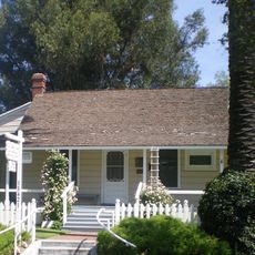
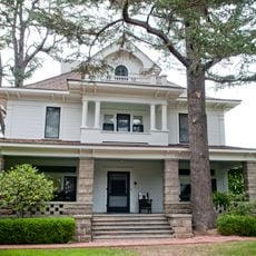
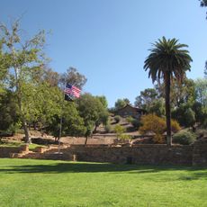
La Habra Heights is a small city in Los Angeles County built on large parcels where spacious homes, farms, and open land dominate the landscape. The city spans about 6.2 square miles and is crossed by winding streets that follow the hills with minimal infrastructure like sewer systems.
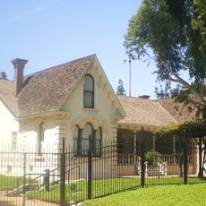
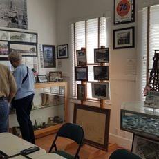
The city was officially founded in 1978 after residents chose independence to preserve its rural character from urban development. The area emerged in the early 1900s when landowners transformed it into a small community for people seeking escape from city life.
La Habra Heights is named after the local avocado harvest, and the yearly festival celebrates how important this crop remains to the community. Residents gather for neighborhood events and share a strong sense of belonging shaped by their appreciation for rural living.
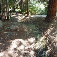
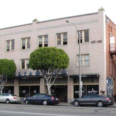
Visitors should know there are almost no shops or restaurants here, so it is best to shop in nearby towns instead. The area is good for walking, biking, and horseback riding on forest trails, so bring comfortable shoes and water.
A fascinating piece of history is the Hass avocado, grown from a seed bought in nearby Whittier in 1926 that became a commercial success. The original tree and its legacy are so important that the city holds a yearly festival in honor of this special fruit.
The community of curious travelers
AroundUs brings together thousands of curated places, local tips, and hidden gems, enriched daily by 60,000 contributors worldwide.