Enable Location

We need your location to show you interesting places around you

Discover nearby places

Find interesting locations and hidden gems around you

Precise directions

Get accurate directions and distances to places

Your location is never shared with other users. It's only used when you tap the location button.

La Puente

Log in to your account

Start exploring — it's free

Trusted by 62,445 travelers worldwide

Continue with Google
Continue with Apple
or

We will send you a code to connect

By continuing, you accept our Terms and Conditions and our Privacy Policy

Check your inbox

We've sent a pincode in your inbox. Please enter the code below.

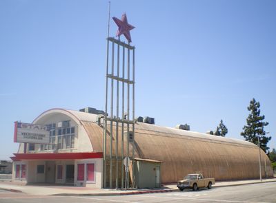
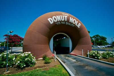
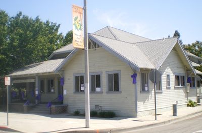
La Puente, Residential city in Los Angeles County, United States.

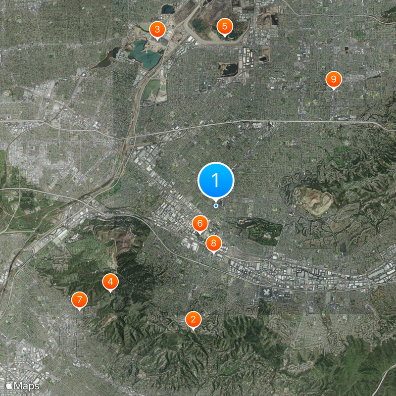
La Puente is a residential city in the San Gabriel Valley within Los Angeles County that spans several square miles. The city is located east of downtown Los Angeles and consists of various neighborhoods that reflect the character of a modern American suburban community.

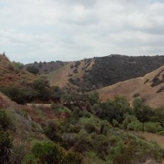
The area was originally home to the Tongva people, who lived in the village of Awingna before Spanish explorers reached the region in 1769. Over time, the land developed into an agricultural region known for fruit growing before eventually becoming a residential community.

The city is now a residential neighborhood where people from different backgrounds live and interact together. Throughout the year, community gatherings and local events bring residents together to strengthen their connections.

The area is best explored by car, as streets are spread out and public transportation is limited. Visitors should plan flexibly, as many facilities operate on standard weekday schedules.

During the 1930s, the area was a center of walnut production and housed one of the world's largest processing facilities. The landscape was then covered with walnut and fruit orchards before transforming into a modern residential city.

The community of curious travelers

AroundUs brings together thousands of curated places, local tips, and hidden gems, enriched daily by 60,000 contributors worldwide.

Start exploring
Inception
1956
Elevation above the sea
107 m
Shares border with
City of Industry, South San Jose Hills, Valinda, Walnut, West Covina
GPS coordinates
34.03250,-117.95528
Latest update
December 14, 2025 19:59
Around this place
Hsi Lai Temple
United States of America

Hsi Lai Temple

6.4 km
Irwindale Event Center
United States of America

Irwindale Event Center

9.1 km
Turnbull Canyon
United States of America

Turnbull Canyon

7 km
Santa Fe Dam Recreation Area
United States of America

Santa Fe Dam Recreation Area

8.7 km
Workman and Temple Family Homestead Museum
United States of America

Workman and Temple Family Homestead Museum

1.6 km
Jonathan Bailey House
United States of America

Jonathan Bailey House

8.8 km
John A. Rowland House
United States of America

John A. Rowland House

2.4 km
United States of America

Covina Center for the Performing Arts

8.5 km
El Campo Santo Cemetery
United States of America

El Campo Santo Cemetery

1.7 km
Skyrose Chapel
United States of America

Skyrose Chapel

6.6 km
United States of America

Santa Fe Flood Control Basin

9.1 km
United States of America

New Temple Park

8.2 km
United States of America

Hacienda Golf Club

8 km
United States of America

Little Theater

3.8 km
United States of America

Rowland Heights Golf Center

7.6 km
United States of America

Friendly Hills Country Club

8.6 km
United States of America

The Industry Hills Golf Club - Babe Zaharias Course

3.1 km
United States of America

California Country Club

5.6 km
United States of America

South Hills Country Club

6.8 km
United States of America

The Industry Hills Golf Club - Ike (Dwight D Eisenhower) Course

2.7 km
United States of America

Boy Scout Amphitheater

5.9 km
United States of America

Eagle

9 km
United States of America

San Angelo Landscape

4.8 km
United States of America

Figure

8.1 km
United States of America

Bridge Railing

3.5 km
United States of America

Mural, Work of art

6.7 km
United States of America

Carlito Hernandez

7.8 km
United States of America

Scenic viewpoint

6.4 km
Show the full map
« La Puente - Residential city in Los Angeles County, United States » is provided by Around Us (aroundus.com). Images and texts are derived from Wikimedia project under a Creative Commons license. You are allowed to copy, distribute, and modify copies of this page, under the conditions set by the license, as long as this note is clearly visible.

Discover hidden gems everywhere you go!

From secret cafés to breathtaking viewpoints, skip the crowded tourist spots and find places that match your style. Our app makes it easy with voice search, smart filtering, route optimization, and insider tips from travelers worldwide. Download now for the complete mobile experience.

Around Us App Screenshot

A unique approach to discovering new places

Le Figaro

All the places worth exploring

France Info

A tailor-made excursion in just a few clicks

20 Minutes

Around Us
Travel Guide & Maps
Download

Send to your phone

QR Code
1

Open the camera app on your mobile.

2

Point at the QR code with your camera. A notification will appear.

3

Tap the notification to open the link.