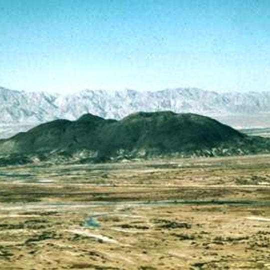
Cerro Prieto, Volcano in Mexicali Valley, Mexico
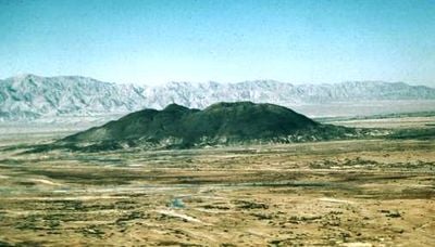
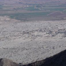
Cerro Prieto is a volcano in Mexicali Valley that rises about 223 meters (730 feet) above sea level in a desert region. The area is characterized by extreme temperature swings, with winters near freezing and summers reaching intense heat.
Cerro Prieto is a monogenetic volcano that emerged in the Pleistocene, roughly 80,000 years ago, on the alluvial plain of the Colorado River delta. Lithology studies suggest it formed in only a few hundred years, perhaps through just two eruptive events. It sits between the Imperial and Cerro Prieto faults, transform faults of the East Pacific Rise that continue to rift Baja California from the mainland.
The Cocopah name Wee Ñaay, "Dark Hill," fits the dark mass seen from Federal Highway 5. Their oral tradition says the hill rose from the ashes of a witch burned by the last surviving member of a family she had killed; another story says a wounded animal rolled in a pool and left the volcano as its mark.
The area houses one of the world's largest geothermal power stations that generates electricity from underground thermal resources. This facility makes the location significant for renewable energy production in the region.
Cerro Prieto gave its name to the geothermal field beside it, to a Mexicali municipal delegation seated at Michoacán de Ocampo, and to several localities of that delegation. Before the Mexicali Valley was farmed, a body of water called the "laguna de los volcanes" served travellers crossing the Colorado desert; it is now flooded with wastewater from the geothermal plant.
The community of curious travelers
AroundUs brings together thousands of curated places, local tips, and hidden gems, enriched daily by 94,419 contributors worldwide.