Enable Location

We need your location to show you interesting places around you

Discover nearby places

Find interesting locations and hidden gems around you

Precise directions

Get accurate directions and distances to places

Your location is never shared with other users. It's only used when you tap the location button.

Baja California

Log in to your account

Start exploring — it's free

Trusted by 62,535 travelers worldwide

Continue with Google
Continue with Apple
or

We will send you a code to connect

By continuing, you accept our Terms and Conditions and our Privacy Policy

Check your inbox

We've sent a pincode in your inbox. Please enter the code below.

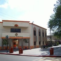
Baja California, Mexican state at northwesternmost edge of Mexico.

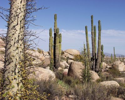
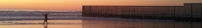
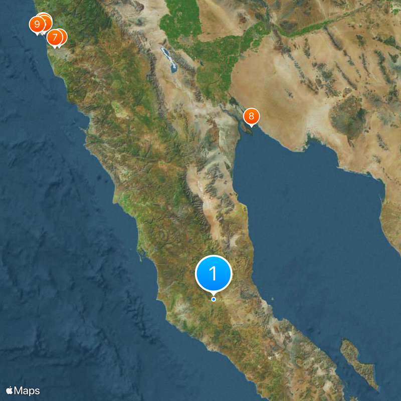
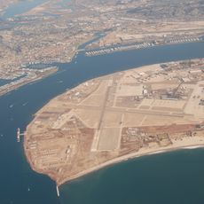
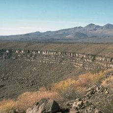
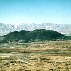
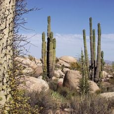
Baja California occupies the northernmost tip of Mexico, stretching along both the Pacific coast and the Gulf of California across roughly 70,000 square kilometers of desert valleys, mountain ranges, and shoreline. The state borders California and Arizona to the north and includes several major urban centers along with rural areas that remain thinly populated.

Spanish missionaries established settlements here in the 1700s among indigenous groups who had lived along the coast and inland valleys for thousands of years. After becoming Mexican territory in the 1800s, the region gained statehood in 1952 following decades of gradual population growth.

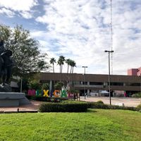
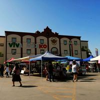
In border cities like Tijuana and Mexicali, street markets blend Mexican tacos with Chinese dim sum and Korean barbecue, reflecting how people actually eat and shop daily. Festivals honor both Catholic saints and Lunar New Year traditions, showing how communities adapt celebrations to fit their mixed roots.

Border crossings into California can experience long waits during morning and evening rush periods, so plan extra time if traveling between countries. Coastal cities have services in both English and Spanish, while inland rural areas rely mainly on Spanish for communication.

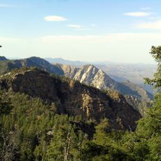
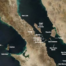
The Sierra de San Pedro Mártir rises above 3,000 meters (around 10,000 feet) and supports pine forests surrounded by desert, with occasional winter snowfall at the peaks. An observatory sits at the summit, taking advantage of clear night skies far from urban lights.

The community of curious travelers

AroundUs brings together thousands of curated places, local tips, and hidden gems, enriched daily by 60,000 contributors worldwide.

Start exploring
Location
Inception
1804
Capital city
Mexicali
Elevation above the sea
578 m
Reference
BCN
Shares border with
Baja California Sur, Sonora, Arizona, California, San Diego County
GPS coordinates
29.95000,-115.11667
Latest update
December 14, 2025 18:54
Around this place
Show the full map
« Baja California - Mexican state at northwesternmost edge of Mexico » is provided by Around Us (aroundus.com). Images and texts are derived from Wikimedia project under a Creative Commons license. You are allowed to copy, distribute, and modify copies of this page, under the conditions set by the license, as long as this note is clearly visible.

Discover hidden gems everywhere you go!

From secret cafés to breathtaking viewpoints, skip the crowded tourist spots and find places that match your style. Our app makes it easy with voice search, smart filtering, route optimization, and insider tips from travelers worldwide. Download now for the complete mobile experience.

Around Us App Screenshot

A unique approach to discovering new places

Le Figaro

All the places worth exploring

France Info

A tailor-made excursion in just a few clicks

20 Minutes

Around Us
Travel Guide & Maps
Download

Send to your phone

QR Code
1

Open the camera app on your mobile.

2

Point at the QR code with your camera. A notification will appear.

3

Tap the notification to open the link.