San Quintín, Agricultural municipality on Pacific Coast, Baja California, Mexico
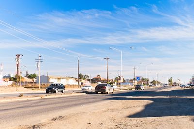
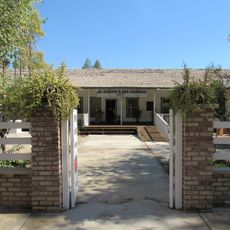
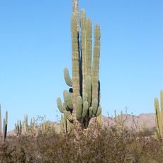
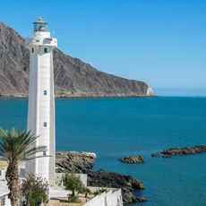
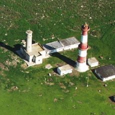
San Quintín is a municipality along the Pacific Coast of Baja California that spreads across multiple localities and neighborhoods. The area is defined by active farming operations, oyster cultivation, and fishing, with a diverse population working in agriculture and related industries.
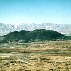
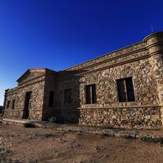
British investors founded a wheat settlement in the 1880s with a mill and railway, though the project faltered due to prolonged drought. The venture eventually collapsed as agricultural conditions made sustaining the colony untenable.
The area's agricultural traditions shape daily rhythms and market life, with farming families forming the heart of the community. These practices connect residents to the land and create a strong sense of place centered on seasonal harvests.
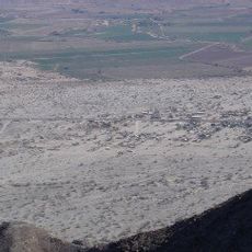
The area connects via Federal Highway 1 to larger cities and offers easy access to farmland and coastal zones. The region is most active during harvest season when agricultural work dominates the landscape.
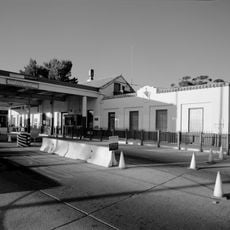
Remnants of the 19th-century English settlement including an old mill, railway causeway, pier, and cemetery remain visible around the inner bay. These abandoned structures tell the story of a failed venture against the harsh coastal environment.
Location: San Quintin
Inception: 1918
Website: http://sanquintin.gob.mx
GPS coordinates: 30.55639,-115.93917
Latest update: December 20, 2025 02:25
Sierra de San Pedro Mártir National Park
57.1 km
Cerro Prieto
215.7 km
National Astronomical Observatory of San Pedro Mártir
70.8 km
Valle de los Cirios
94.3 km
Picacho del Diablo
72.5 km
Constitution 1857 National Park
162.6 km
Upper Gulf of California and Colorado River Delta biosphere reserve
187 km
Desert View Tower
234.6 km
Christ of the Sacred Heart
215.1 km
The Trompo Interactive Museum
235.7 km
El Vallecito
220.2 km
Tijuana México Temple
234.7 km
Bahía de San Quintín
14 km
Tecate Peak
236.2 km
San Quintín Volcanic Field
11.2 km
Guadalupe Canyon Hot Springs
179.1 kmEl Gallo Formation
52.5 km
Museo Comunitario del Asalto a las Tierras
220.8 km
Colonia La Puerta
205.5 km
Pacific Southwest Railway Museum Association
234.5 km
Juan Garcia Aldama Community Museum
185.8 km
"Camp Alaska" Site Museum
222.6 km
Estación de Inspección de los Estados Unidos-Tecate
234.2 km
Valle de Los Gigantes
120.1 km
Catavina Rock Paintings
145.9 km
La Lobera
51.7 km
San Felipe Lighthouse
120.6 km
Islas de Todos Santos Lighthouse
162.4 kmVisited this place? Tap the stars to rate it and share your experience / photos with the community! Try now! You can cancel it anytime.
Discover hidden gems everywhere you go!
From secret cafés to breathtaking viewpoints, skip the crowded tourist spots and find places that match your style. Our app makes it easy with voice search, smart filtering, route optimization, and insider tips from travelers worldwide. Download now for the complete mobile experience.
A unique approach to discovering new places❞
— Le Figaro
All the places worth exploring❞
— France Info
A tailor-made excursion in just a few clicks❞
— 20 Minutes