San Quintín Volcanic Field, Volcanic field in Baja California, Mexico.
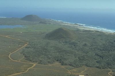
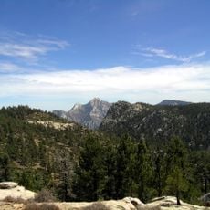
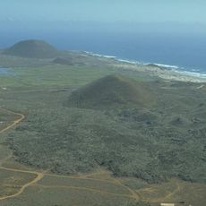
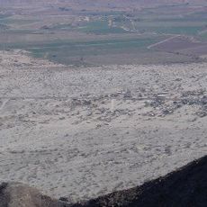
The San Quintín Volcanic Field is a collection of twelve inactive volcanoes spread across a broad landscape, featuring distinct craters and solidified lava formations. The entire area shows different stages of volcanic activity and displays varied geological features throughout.
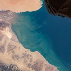
The volcanoes formed more than 180,000 years ago through underwater volcanic activity that created solidified lava islands. The most recent eruption happened around 1,000 years ago and shaped the landscape visible today.
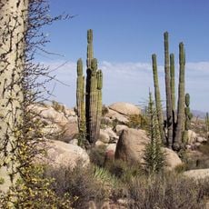
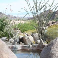
Local farming communities have long relied on the nutrient-rich volcanic soil for agriculture, a practice that remains visible today in the fields surrounding the landscape. The terrain itself shapes how people live and work in this region.
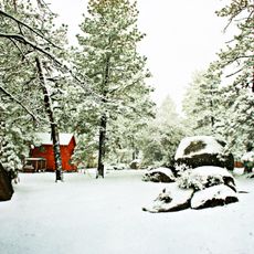
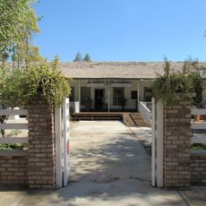
Access is available through designated observation areas throughout the year. The best time to visit is from November to March when temperatures are cooler and more comfortable for walking and exploring.
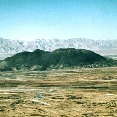
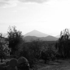
Monte Ceniza rises as a 180 meter high cone and forms the heart of a protected nature reserve with special conservation status. Its crater stretches 350 meters in diameter and stands out for its distinct circular shape.
Location: Baja California
GPS coordinates: 30.47000,-116.00000
Latest update: December 14, 2025 11:26
Sierra de San Pedro Mártir National Park
68 km
Cerro Prieto
226.6 km
National Astronomical Observatory of San Pedro Mártir
81.9 km
Valle de los Cirios
93.6 km
Picacho del Diablo
83.3 km
Constitution 1857 National Park
171.8 km
Upper Gulf of California and Colorado River Delta biosphere reserve
198 km
Desert View Tower
243.9 km
Christ of the Sacred Heart
221.1 km
The Trompo Interactive Museum
242.4 km
El Vallecito
229 km
Tijuana México Temple
241.4 km
Bahía de San Quintín
5.2 km
Tecate Peak
243.8 km
Guadalupe Canyon Hot Springs
189.2 kmEl Gallo Formation
45.5 km
Museo Comunitario del Asalto a las Tierras
231.6 km
Colonia La Puerta
216.4 km
Pacific Southwest Railway Museum Association
242.8 km
Juan Garcia Aldama Community Museum
196.8 km
"Camp Alaska" Site Museum
232.1 km
Estación de Inspección de los Estados Unidos-Tecate
241.9 km
Valle de Los Gigantes
128.8 km
Catavina Rock Paintings
145.1 km
La Lobera
44.9 km
Amber Interactive Center
242.9 km
San Felipe Lighthouse
130.3 km
Islas de Todos Santos Lighthouse
168 kmVisited this place? Tap the stars to rate it and share your experience / photos with the community! Try now! You can cancel it anytime.
Discover hidden gems everywhere you go!
From secret cafés to breathtaking viewpoints, skip the crowded tourist spots and find places that match your style. Our app makes it easy with voice search, smart filtering, route optimization, and insider tips from travelers worldwide. Download now for the complete mobile experience.
A unique approach to discovering new places❞
— Le Figaro
All the places worth exploring❞
— France Info
A tailor-made excursion in just a few clicks❞
— 20 Minutes