Chest opened
+${chestReward.xp} XP
Explorer
NOUVEAU ×${chestReward.collectible.quantity}
tapez pour fermer
Chest locked

Open chests in the app

Around Us is built for your phone — chests unlock when you walk, explore and capture nearby places.

Enable Location

We need your location to show you interesting places around you

Discover nearby places

Find interesting locations and hidden gems around you

Precise directions

Get accurate directions and distances to places

Your location is never shared with other users. It's only used when you tap the location button.

Log in to your account

Start exploring — it's free

Trusted by 72,883 travelers worldwide

Continue with Google
Continue with Apple
or

We will send you a code to connect

By continuing, you accept our Terms and Conditions and our Privacy Policy

Check your inbox

We've sent a pincode in your inbox. Please enter the code below.

Interstate 19
Discussion Reviews Photo
33.4k Popularity

Interstate 19, Interstate freeway in Arizona, United States

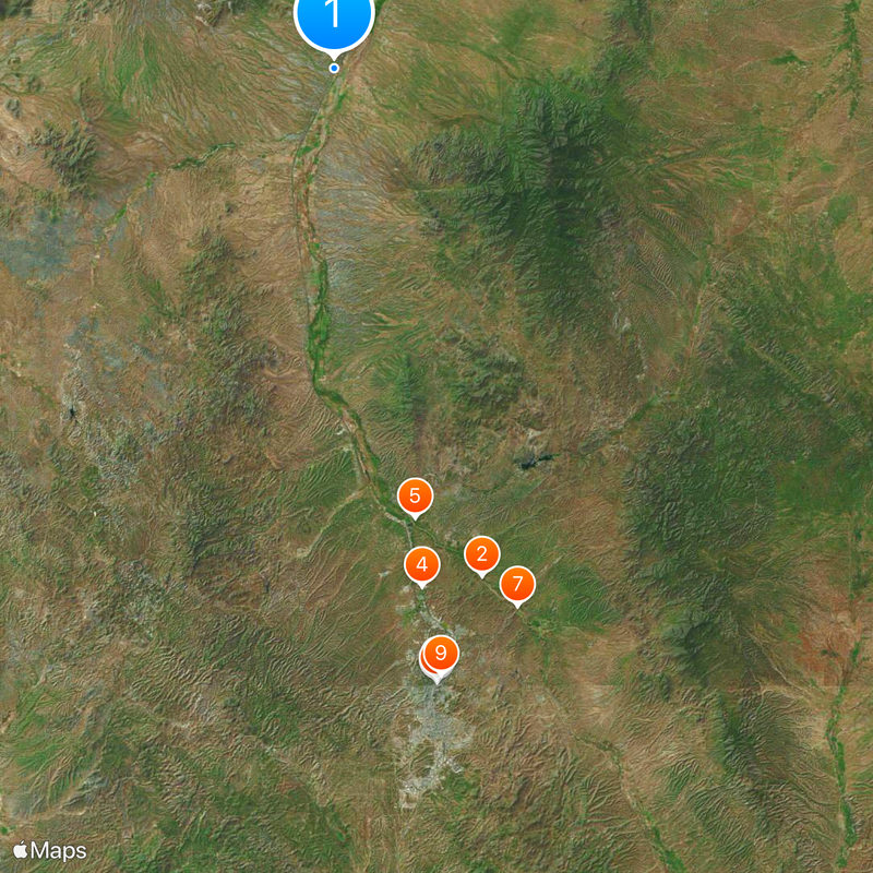
Interstate 19 is a federal highway that stretches approximately 63 miles from Tucson to the Mexican border at Nogales. The route passes through both Pima County and Santa Cruz County, crossing relatively flat terrain with scattered development.

Construction of this federal highway took place between 1962 and 1978, making it an important link in the expanding Interstate system. The road was built to strengthen economic and transportation connections across the region during a period of national infrastructure growth.

The road displays bilingual signs in English and Spanish, reflecting the strong cross-border ties of the area. Travelers notice how daily life here is shaped by this proximity to the international boundary.

Rest areas and fuel stations are distributed along the entire route, offering basic services to travelers. The highway passes through desert terrain, so drivers should be prepared for hot conditions and limited facilities in some stretches.

This is the only federal highway in the United States that uses kilometers instead of miles for all distance signs and exit numbers throughout its entire length. Drivers from other states often find this metering system surprising and visually different from what they expect.

The community of curious travelers

AroundUs brings together thousands of curated places, local tips, and hidden gems, enriched daily by 60,000 contributors worldwide.

Start exploring
Location
Reference
19
GPS coordinates
31.77896,-111.02855
Latest update
December 19, 2025 23:36
Around this place
Show the full map
Reviews
Share your experience

No review yet

Discussions
Start a discussion...

No discussion yet

« Interstate 19 - Interstate freeway in Arizona, United States » is provided by Around Us (aroundus.com). Images and texts are derived from Wikimedia project under a Creative Commons license. You are allowed to copy, distribute, and modify copies of this page, under the conditions set by the license, as long as this note is clearly visible.

Discover hidden gems everywhere you go!

From secret cafés to breathtaking viewpoints, skip the crowded tourist spots and find places that match your style. Our app makes it easy with voice search, smart filtering, route optimization, and insider tips from travelers worldwide. Download now for the complete mobile experience.

Around Us App Screenshot

A unique approach to discovering new places

Le Figaro

All the places worth exploring

France Info

A tailor-made excursion in just a few clicks

20 Minutes

Around Us
Travel Guide & Maps
Download

Send to your phone

QR Code
1

Open the camera app on your mobile.

2

Point at the QR code with your camera. A notification will appear.

3

Tap the notification to open the link.