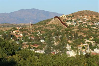
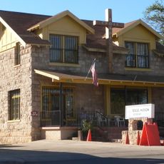
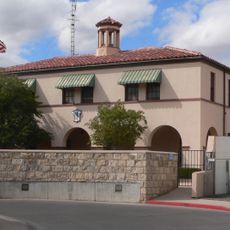
Nogales, Border city in Santa Cruz County, Arizona, United States
Nogales sits in Santa Cruz County and directly adjoins its Mexican sister city Heroica Nogales in the state of Sonora, with International Avenue marking the dividing line between the two communities. The border crossing connects both sides and is crossed daily by thousands of people commuting between Arizona and Sonora.
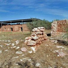
The settlement was founded in 1880 by merchant Jacob Isaacson as Isaactown and later took its current name from the walnut trees. The fence along the border was erected in 1918 following an armed clash that involved Mexican civilians and American soldiers.
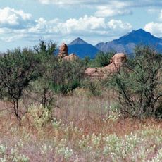
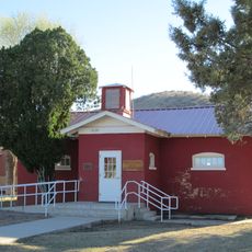
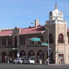
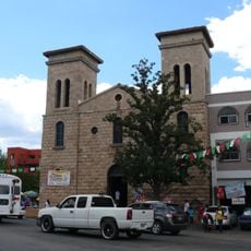
Both communities share the same name, derived from the black walnut trees that once grew throughout the area and still mark the landscape today. Walking the streets, visitors experience a mix of Spanish-language shops, Mexican restaurants, and stores familiar on both sides of the border that offer goods from two countries.
The border crossing operates daily and serves both pedestrians and drivers moving between the two countries. Visitors should prepare for wait times when entering and keep valid identification documents ready.
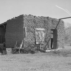
The border runs not only through streets but also through some buildings and yards, so parts of a property lie in one country and other parts in the neighboring country. This unusual situation arose from the way the border line was drawn in the 19th century.
The community of curious travelers
AroundUs brings together thousands of curated places, local tips, and hidden gems, enriched daily by 60,000 contributors worldwide.