Chiricahua Mountains, Mountain range in Cochise County, Arizona, US.
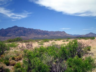
The Chiricahua Mountains are a mountain range in southeastern Arizona with a main peak rising nearly 10,000 feet (3,050 meters). The range spans about 50 kilometers and displays steep rock faces, canyons, and forested slopes alternating with open grasslands.
People inhabited these mountains around 2,000 years ago, as shown by archaeological finds. Apache groups later established themselves in the region and used the terrain as a refuge.
The name Chiricahua comes from an Opata word referring to the wildlife of the region. Apache peoples considered this land central to their way of life for generations.
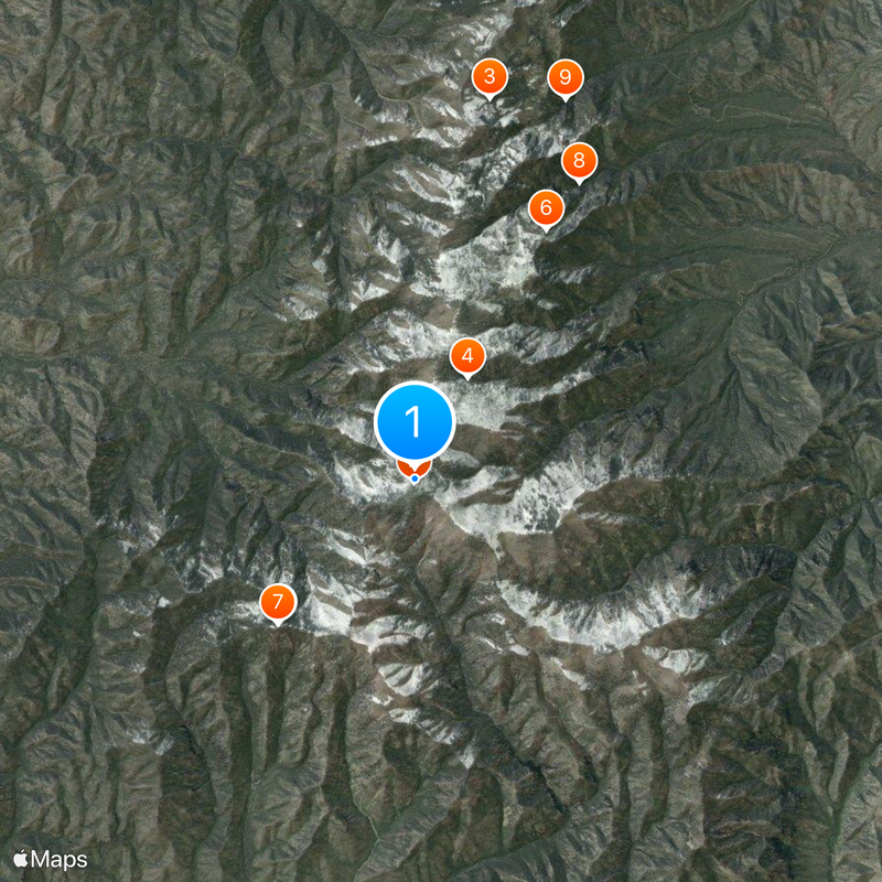
The area offers various hiking trails of different difficulty levels, from short walks to challenging mountain hikes. Information about conditions and access points can be found at entrances near towns in the surrounding area.
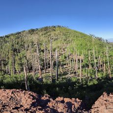
The mountains harbor forests at higher elevations with pines and ferns more typical of northern regions. This elevation creates an island of cooler climate surrounded by Arizona's hotter desert landscape.
The community of curious travelers
AroundUs brings together thousands of curated places, local tips, and hidden gems, enriched daily by 60,000 contributors worldwide.