Cochise County

Log in to your account

AroundUs is a community-driven map of interesting places, built by curious explorers like you. It grows with every review, story, and photo you share.
Connect to save your favorite spots, contribute locations, and create personalized routes.
By continuing, you accept our Terms and Conditions and our Privacy Policy
Add to collection
Map
Suggest a change
Share

Cochise County, Administrative county in southeastern Arizona, United States

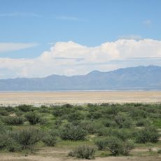
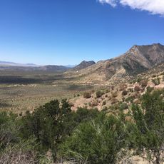
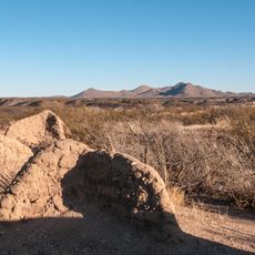
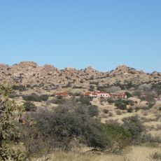
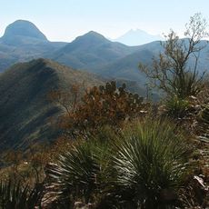
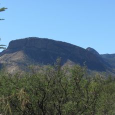
Cochise County is an administrative unit in southeastern Arizona that spans roughly 16,100 square kilometers and includes desert valleys, mountain ranges, and wide grasslands. The region borders Mexico directly and stretches from the Dragoon Mountains in the north to the Mule Mountains in the south.

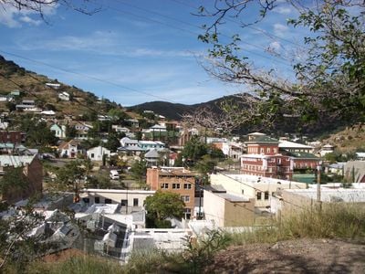
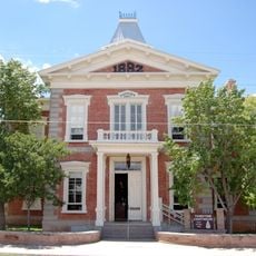
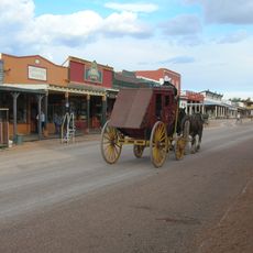
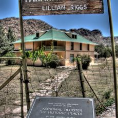
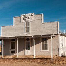
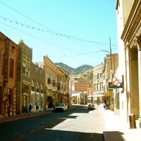
The administrative unit was established in 1881 and named after an Apache leader who shaped the region in the 19th century. Tombstone served as the first administrative seat before it moved to Bisbee in 1929, which benefited from copper mining.

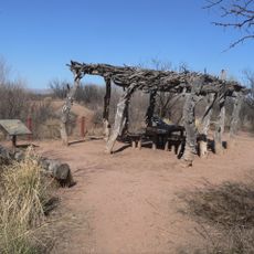
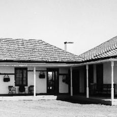
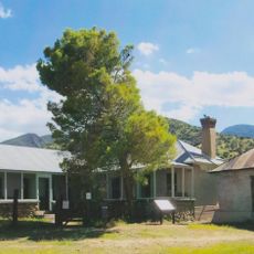
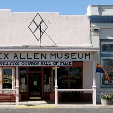
The territory preserves traces of Apache culture, Spanish settlers, and early miners, visible in local festivals and regional cuisine. Many towns hold rodeos and historical reenactments where visitors can witness everyday life from the 19th century.

Most towns sit along a few main roads that pass through wide landscapes and often require longer drives between individual destinations. Gas stations and shops are mainly found in larger towns, so preparation is recommended before longer trips.

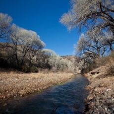
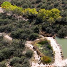
The San Pedro Riparian National Conservation Area within this administrative unit provides habitat for over 350 bird species during their annual migrations. Ornithologists travel from many countries to observe rare species such as the green kingfisher or the rose-throated hummingbird.

Location: Arizona

Inception: 1881

Capital city: Bisbee

Shares border with: Santa Cruz County, Pima County, Graham County, Greenlee County, Hidalgo County, Agua Prieta, Cananea, Naco, Santa Cruz

Website: http://cochise.az.gov

GPS coordinates: 31.88056,-109.75361

Latest update: December 4, 2025 23:42

Photos
Around this place
Show the full map
Fort Huachuca
United States of America

Fort Huachuca

67.1 km
The Thing?
United States of America

The Thing?

36 km
Kartchner Caverns State Park
United States of America

Kartchner Caverns State Park

56.3 km
Bird Cage Theatre
United States of America

Bird Cage Theatre

34.9 km
Fort Bowie
United States of America

Fort Bowie

42.1 km
Texas Canyon
United States of America

Texas Canyon

36.8 km
Willcox Playa
United States of America

Willcox Playa

30.3 km
Gadsden Hotel
United States of America

Gadsden Hotel

62.5 km
Coronado National Memorial
United States of America

Coronado National Memorial

77 km
Chiricahua Peak
United States of America

Chiricahua Peak

43.9 km
Miller Peak
United States of America

Miller Peak

74.6 km
Schieffelin Hall
United States of America

Schieffelin Hall

34.9 km
Tombstone Courthouse
United States of America

Tombstone Courthouse

35.2 km
Murray Springs Clovis Site
United States of America

Murray Springs Clovis Site

53.1 km
San Pedro Riparian National Conservation Area
United States of America

San Pedro Riparian National Conservation Area

48.7 km
San Bernardino Ranch
United States of America

San Bernardino Ranch

75.4 km
San Bernardino National Wildlife Refuge
United States of America

San Bernardino National Wildlife Refuge

75.5 km
Tombstone Historic District
United States of America

Tombstone Historic District

35 km
Presidio Santa Cruz de Terrenate
United States of America

Presidio Santa Cruz de Terrenate

44.8 km
Amerind Foundation
United States of America

Amerind Foundation

35.8 km
Faraway Ranch Historic District
United States of America

Faraway Ranch Historic District

38.8 km
Leslie Canyon National Wildlife Refuge
United States of America

Leslie Canyon National Wildlife Refuge

39.8 km
Apache Peak
United States of America

Apache Peak

64.2 km
Gleeson Jail
United States of America

Gleeson Jail

18 km
Cochise Hotel
United States of America

Cochise Hotel

29.6 km
Brown Canyon Ranch
United States of America

Brown Canyon Ranch

68.6 km
Rex Allen Arizona Cowboy Museum and Willcox Cowboy Hall of Fame
United States of America

Rex Allen Arizona Cowboy Museum and Willcox Cowboy Hall of Fame

42.1 km
Bonita Canyon
United States of America

Bonita Canyon

40.2 km
Show the full map
Reviews

Visited this place? Tap the stars to rate it and share your experience / photos with the community! Try now! You can cancel it anytime.

Administrative divisions
« Cochise County - Administrative county in southeastern Arizona, United States » is provided by Around Us (aroundus.com). Images and texts are derived from Wikimedia project under a Creative Commons license. You are allowed to copy, distribute, and modify copies of this page, under the conditions set by the license, as long as this note is clearly visible.

Discover hidden gems everywhere you go!

From secret cafés to breathtaking viewpoints, skip the crowded tourist spots and find places that match your style. Our app makes it easy with voice search, smart filtering, route optimization, and insider tips from travelers worldwide. Download now for the complete mobile experience.

Around Us App Screenshot

A unique approach to discovering new places

Le Figaro

All the places worth exploring

France Info

A tailor-made excursion in just a few clicks

20 Minutes