Sierra Vista, Military city in Cochise County, Arizona, US
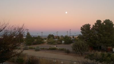
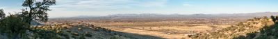
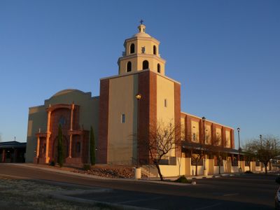
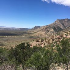
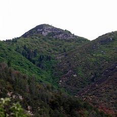
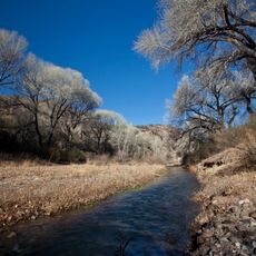
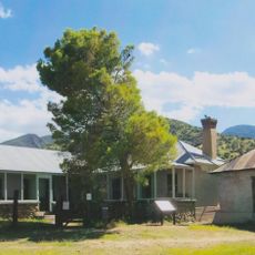
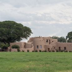
Sierra Vista is a city in southeastern Arizona that sits between desert plains and nearby mountain ranges. Residential areas alternate with commercial zones, while military facilities occupy a portion of the urban layout.
The city emerged in the mid-1950s from a settlement area previously known as Fry Town. Residents at the time sought formal incorporation to better plan development and infrastructure for the growing community.
The military presence shapes daily life through shops, restaurants and housing designed for stationed families and defense workers. Many residents maintain close ties to the surrounding desert environment and its natural features.
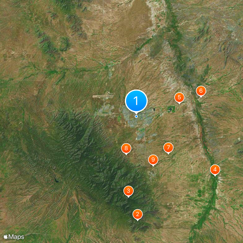
Visitors reach the city via road connections from Tucson and other places in the region. Local transport links different neighborhoods and helps with orientation across residential and commercial districts.
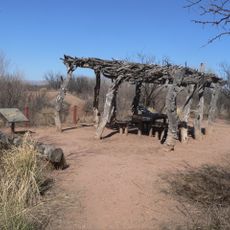
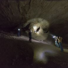
Nearby lies an archaeological site that preserves traces of human activity from around 11,000 years ago. These prehistoric remains provide insight into early settlement patterns in the region.
The community of curious travelers
AroundUs brings together thousands of curated places, local tips, and hidden gems, enriched daily by 60,000 contributors worldwide.