Chest opened
+${chestReward.xp} XP
Explorer
NOUVEAU ×${chestReward.collectible.quantity}
tapez pour fermer

See the monuments around you in AR Open chests in the app

Around Us is built for your phone — point your camera at the streets and discover the monuments and places around you in augmented reality. Around Us is built for your phone — chests unlock when you walk, explore and capture nearby places.

•

Enable Location

We need your location to show you interesting places around you

Discover nearby places

Find interesting locations and hidden gems around you

Precise directions

Get accurate directions and distances to places

Your location is never shared with other users. It's only used when you tap the location button.

Texas Canyon

Log in to your account

Start exploring — it's free

Trusted by 90,097 travelers worldwide

Continue with Google
Continue with Apple
or

We will send you a code to connect

By continuing, you accept our Terms and Conditions and our Privacy Policy

Check your inbox

We've sent a pincode in your inbox. Please enter the code below.

Texas Canyon
Discussion Reviews 1 Photos
11.6k Popularity

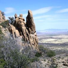
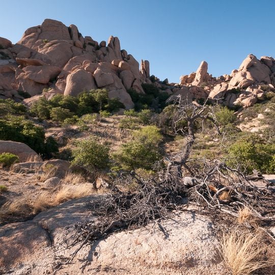
Texas Canyon, Natural granite formation in Cochise County, Arizona, United States

Audio guide · About one minute
Preparing your audio guide… The audio guide could not be loaded, please retry.Sign in to listen to the audio guide

Texas Canyon is a natural formation in southeastern Arizona featuring enormous rounded granite boulders that rise from the desert floor between two mountain ranges. The boulders create natural corridors and open spaces throughout the landscape, shaping how water and wind move through the area.

During the 1800s, this natural corridor served as a key passage for stagecoach routes connecting the eastern and western United States. The formation's location and structure made it a practical choice for travelers crossing the region.

The Chiricahua Apache people utilized this territory as their domain, with Chief Cochise establishing defensive positions in the adjacent Dragoon Mountains.

Access is easiest from Interstate 10, which runs directly through the area with rest stops for travelers. The landscape is open and exposed to the sun, so bring water and shade protection when exploring.

The granite boulders formed over more than a billion years through natural processes that created nearly perfect spherical shapes. These rounded rocks are uncommon and require specific conditions to develop through weathering and erosion.

The community of curious travelers

AroundUs brings together thousands of curated places, local tips, and hidden gems, enriched daily by 60,000 contributors worldwide.
Start exploring
Location
GPS coordinates
32.05250,-110.08600
Latest update
September 16, 2026 23:17
Around this place
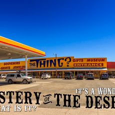
The Thing?
United States of America

The Thing?

3 mi
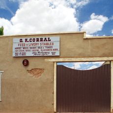
O.K. Corral
United States of America

O.K. Corral

23.5 mi
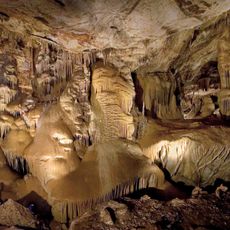
Kartchner Caverns State Park
United States of America

Kartchner Caverns State Park

21.4 mi
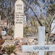
Boothill Graveyard
United States of America

Boothill Graveyard

23 mi
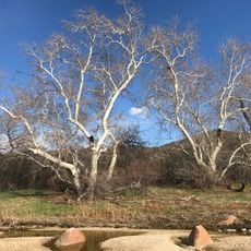
Coronado National Forest
United States of America

Coronado National Forest

10 mi
Willcox Playa
United States of America

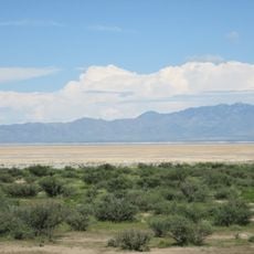
Willcox Playa

15.3 mi
Schieffelin Hall
United States of America

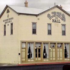
Schieffelin Hall

23.5 mi
Presidio Santa Cruz de Terrenate
United States of America

Presidio Santa Cruz de Terrenate

22 mi
Amerind Foundation
United States of America

Amerind Foundation

0.6 mi
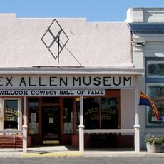
Rex Allen Arizona Cowboy Museum and Willcox Cowboy Hall of Fame
United States of America

Rex Allen Arizona Cowboy Museum and Willcox Cowboy Hall of Fame

20.4 mi
Pearce General Store
United States of America

Pearce General Store

18.6 mi
Benson Railroad Historic District
United States of America

Benson Railroad Historic District

13.5 mi
Johnson-Tillotson House
United States of America

Johnson-Tillotson House

20.3 mi
Contention City
United States of America

Contention City

20.8 mi
John Gung'l House
United States of America

John Gung'l House

20.1 mi
Benjamin E. Briscoe House
United States of America

Benjamin E. Briscoe House

20.3 mi
Apache Powder Historic Residential District
United States of America

Apache Powder Historic Residential District

13.9 mi
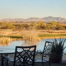
San Pedro Golf Course
United States of America

San Pedro Golf Course

12.7 mi
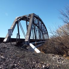
San Pedro River Railroad Bridge
United States of America

San Pedro River Railroad Bridge

12.8 mi
Fairbank Railroad Bridge
United States of America

Fairbank Railroad Bridge

23.2 mi
Cochise Trail
United States of America

Cochise Trail

11.3 mi
United States of America

Old Tombstone Bunkhouse

23.3 mi
United States of America

Wyatt Earp Village

23.3 mi
United States of America

Wyatt Earp

23.4 mi
United States of America

Statue

20.4 mi
United States of America

Statue

16.5 mi
United States of America

Mountain Viewpoint

21.4 mi
United States of America

Scenic viewpoint

11.3 mi
Show the full map
Reviews
Share your experience

No review yet

Discussions
Start a discussion...

No discussion yet

« Texas Canyon - Natural granite formation in Cochise County, Arizona, United States » is provided by Around Us (aroundus.com). Images and texts are derived from Wikimedia project under a Creative Commons license. You are allowed to copy, distribute, and modify copies of this page, under the conditions set by the license, as long as this note is clearly visible.

Discover hidden gems everywhere you go!

From secret cafés to breathtaking viewpoints, skip the crowded tourist spots and find places that match your style. Our app makes it easy with voice search, smart filtering, route optimization, and insider tips from travelers worldwide. Download now for the complete mobile experience.

Around Us App Screenshot
❝

A unique approach to discovering new places❞

— Le Figaro

❝

All the places worth exploring❞

— France Info

❝

A tailor-made excursion in just a few clicks❞

— 20 Minutes

Around Us
Travel Guide & Maps
Download

Send to your phone

QR Code
1

Open the camera app on your mobile.

2

Point at the QR code with your camera. A notification will appear.

3

Tap the notification to open the link.