Enable Location

We need your location to show you interesting places around you

Discover nearby places

Find interesting locations and hidden gems around you

Precise directions

Get accurate directions and distances to places

Your location is never shared with other users. It's only used when you tap the location button.

Log in to your account

Start exploring — it's free

Trusted by 62,531 travelers worldwide

Continue with Google
Continue with Apple
or

We will send you a code to connect

By continuing, you accept our Terms and Conditions and our Privacy Policy

Check your inbox

We've sent a pincode in your inbox. Please enter the code below.

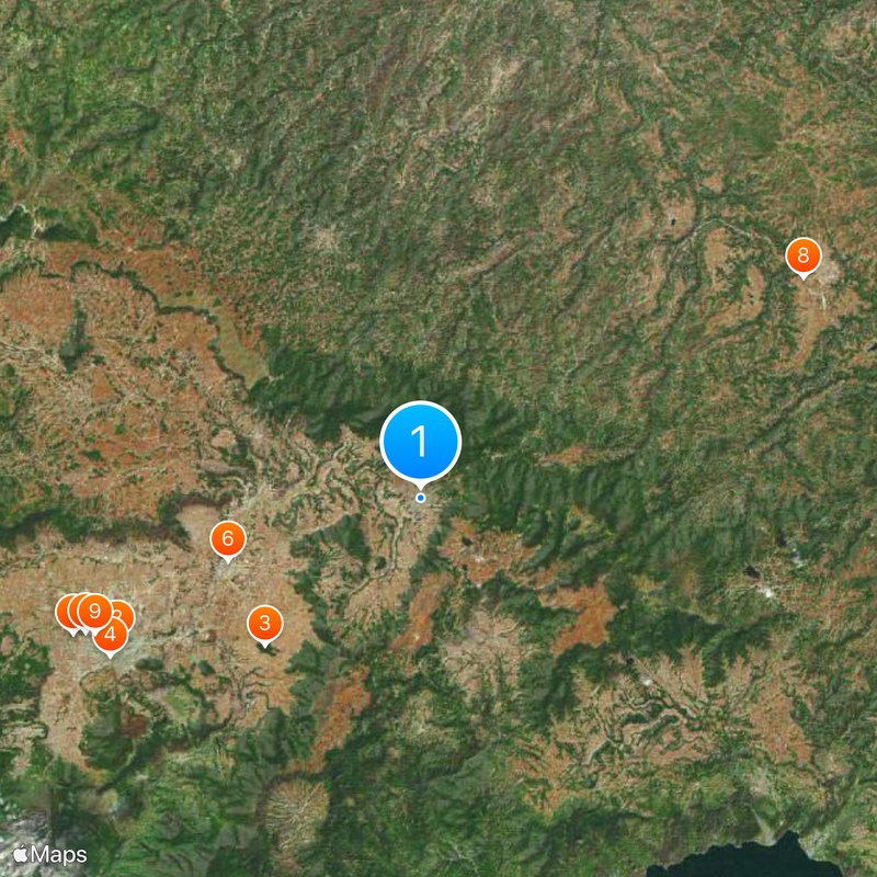
Totonicapán Department, Administrative department in western highlands, Guatemala.

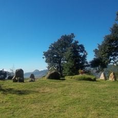
Totonicapán is an administrative region in Guatemala's western highlands, located across mountainous terrain where the Sierra Madre range rises with notable peaks. The area is covered by forests and divided into several municipalities with settlements spread across different elevations.

The region experienced a brief period of independence from 1838 to 1840 when it formed a separate republic alongside two neighboring departments. This episode concluded when the area was reincorporated back into Guatemala.

The K'iche' Maya people who live here keep their language and weaving traditions alive in daily life, with handmade textiles visible in markets and homes throughout the communities. These practices form the backbone of local identity and appear in the colors and patterns that decorate many spaces.

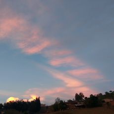
The region is connected through the Cuatro Caminos intersection with routes linking to neighboring areas and the capital city. Visitors should prepare for changing weather conditions and steep roads due to the highland terrain.

The region is home to rare Guatemalan fir trees called pinabete that grow naturally in the oak and pine forests. These trees thrive only at the highest elevations and are an important part of the local forest ecosystem.

The community of curious travelers

AroundUs brings together thousands of curated places, local tips, and hidden gems, enriched daily by 60,000 contributors worldwide.

Start exploring
Location
Capital city
Totonicapán
Shares border with
Huehuetenango Department, Quiché Department, Sololá Department, Quetzaltenango Department
GPS coordinates
14.91250,-91.36000
Latest update
December 19, 2025 23:48
« Totonicapán Department - Administrative department in western highlands, Guatemala » is provided by Around Us (aroundus.com). Images and texts are derived from Wikimedia project under a Creative Commons license. You are allowed to copy, distribute, and modify copies of this page, under the conditions set by the license, as long as this note is clearly visible.

Discover hidden gems everywhere you go!

From secret cafés to breathtaking viewpoints, skip the crowded tourist spots and find places that match your style. Our app makes it easy with voice search, smart filtering, route optimization, and insider tips from travelers worldwide. Download now for the complete mobile experience.

Around Us App Screenshot

A unique approach to discovering new places

Le Figaro

All the places worth exploring

France Info

A tailor-made excursion in just a few clicks

20 Minutes

Around Us
Travel Guide & Maps
Download

Send to your phone

QR Code
1

Open the camera app on your mobile.

2

Point at the QR code with your camera. A notification will appear.

3

Tap the notification to open the link.