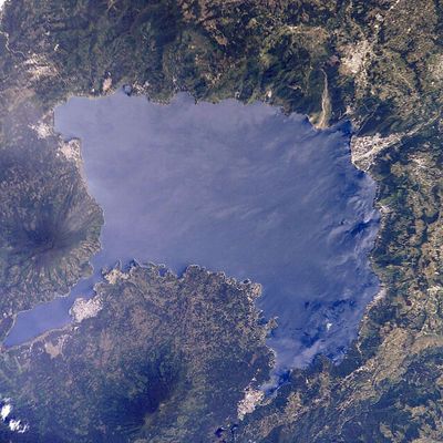
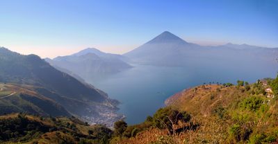
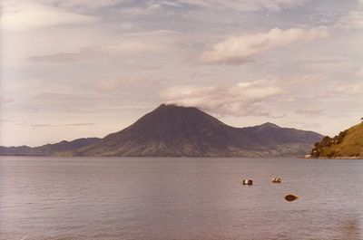
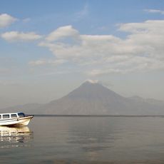
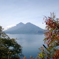
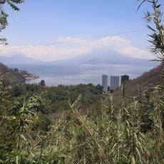
Lago de Atitlán, Volcanic crater lake in Sololá Department, Guatemala.
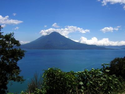
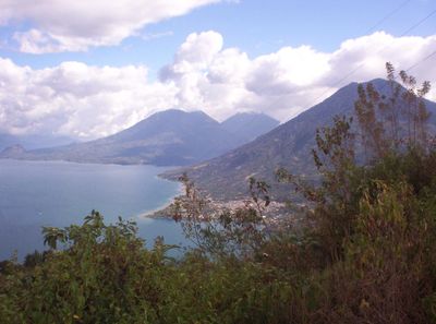
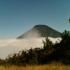
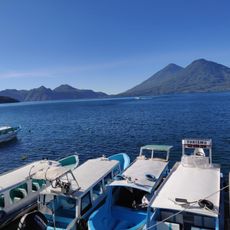
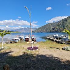
Lago de Atitlán is a volcanic crater lake in Sololá Department, Guatemala. The water sits at 1562 meters elevation and is surrounded by the volcanoes San Pedro, Tolimán and Atitlán, which rise steeply from the shore.
The lake formed around 84,000 years ago after an eruption left behind a caldera. The basin filled with water and eventually reached a depth of 340 meters.
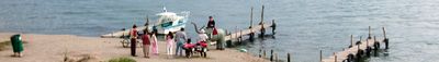
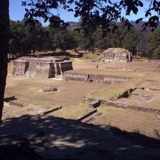
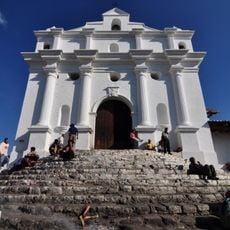
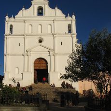
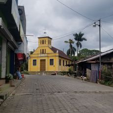
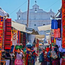
Maya communities still speak K'iche', Kaqchikel and Tz'utujil in the villages lining the shore. Women weave colored huipiles with patterns that identify their home communities, and the textiles are sold at local markets.
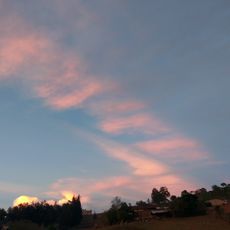
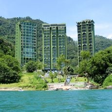
Boats connect towns such as Panajachel, San Pedro La Laguna and Santiago Atitlán, providing access to different parts of the shore. Trails lead up the volcanoes and through the surrounding hills, with weather generally clearer in the morning hours.
Water flows into the lake through rivers but has no outlet to an ocean or sea. This closed structure creates a self-contained ecological system where local species have evolved.
Location: Sololá Department
Elevation above the sea: 1,562 m
Website: https://atitlan.gt
GPS coordinates: 14.70000,-91.20000
Latest update: December 12, 2025 17:58
Guatemala offers photographers a mix of pre-Columbian sites, volcanic landscapes, and colonial buildings. The geography ranges from highland towns to rainforests and coastal areas along the Pacific and Caribbean. Ancient Maya temples stand alongside Spanish-era churches, while indigenous markets and...
Guatemala contains several photographic subjects within its borders. Maya ruins such as Tikal, Yaxha and Quiriguá stand in the tropical forests of Petén and Izabal. Colonial architecture appears in Antigua Guatemala, where the Santa Catalina Arch and painted facades line cobblestone streets. Lake...
Santa María
38.4 km
Iximche
22.3 km
Santiaguito
40 km
Volcán Atitlán
13.1 km
Almolonga
36.2 km
Volcán San Pedro
8.4 km
Volcán Tolimán
9 km
Pascual Abaj
27.9 km
Quetzaltenango Municipal Theatre
37.6 km
Chocolá
26.1 km
Estadio Mario Camposeco
37.6 km
Iglesia de Santo Tomás
28.6 km
Cerro Quiac
30.2 km
Iximche
22.2 km
Holy Spirit Cathedral, Quetzaltenango
37.6 km
Quetzaltenango Guatemala Temple
40 km
Holy Cross Cathedral, Santa Cruz del Quiché
37.1 km
Chapel of the Conqueress of the Immaculate Conception
34.5 km
Minerva
39.3 km
Santa María Hydroelectric Dam
29.8 km
Pintado Santa Catarina Palopo
7.4 km
Playa Pública La Libertad
9.3 km
Museo Iximche
22.4 km
Chocolá, Suchitepéquez, Iglesia Católica
25.8 km
Canton Las Ruinas de Gumarkaaj
36.2 km
Chichicastenango Market
28.6 km
Mariposario Reserva De Atitlan
6.8 km
Riviera de Atitlan
6.4 kmVisited this place? Tap the stars to rate it and share your experience / photos with the community! Try now! You can cancel it anytime.
Discover hidden gems everywhere you go!
From secret cafés to breathtaking viewpoints, skip the crowded tourist spots and find places that match your style. Our app makes it easy with voice search, smart filtering, route optimization, and insider tips from travelers worldwide. Download now for the complete mobile experience.
A unique approach to discovering new places❞
— Le Figaro
All the places worth exploring❞
— France Info
A tailor-made excursion in just a few clicks❞
— 20 Minutes