Coatepeque Caldera, Volcanic lake in Izalco, El Salvador
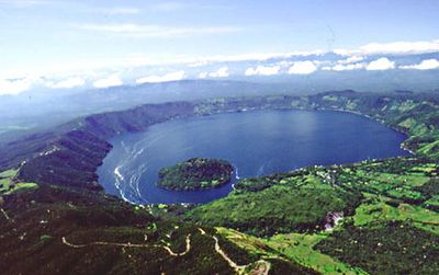
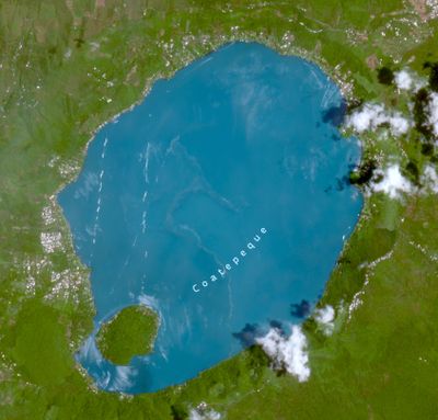
Coatepeque Lake sits inside a volcanic crater and is a large body of water that displays different shades of blue. The water reaches great depths and is surrounded by steep crater walls.
The lake formed through massive volcanic eruptions thousands of years ago, when rhyolitic lava created the crater basin. This geological formation has shaped the region's landscape ever since.
The name comes from the Nawat language meaning "at the snake hill". The island of Teopan holds ancient Maya remains that speak to a long history of settlement in this place.
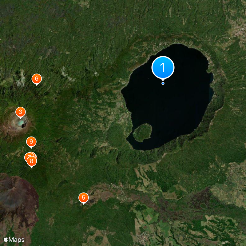
The lake is reached easily by established roads from the surrounding area, with several lodgings and dining options found around the shoreline. Access is straightforward, and visitors can find places to stay and eat without difficulty.
The lake's water occasionally changes color from blue to turquoise, a natural phenomenon that scientists have documented multiple times. These color shifts are a fascinating sign of the geological activity happening in this region.
The community of curious travelers
AroundUs brings together thousands of curated places, local tips, and hidden gems, enriched daily by 60,000 contributors worldwide.