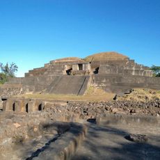
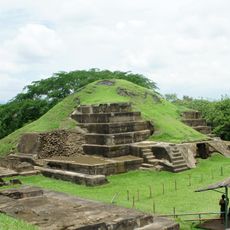
Santa Ana Department, Administrative department in western El Salvador
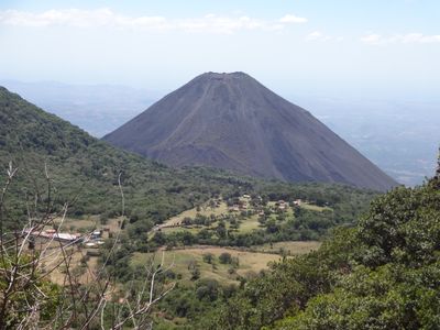
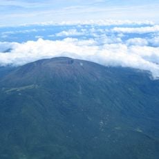
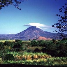
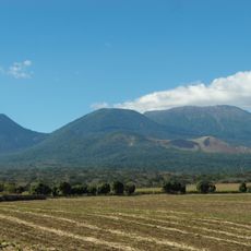
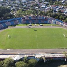
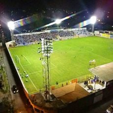
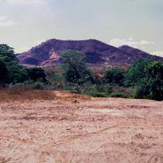
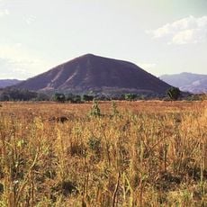
Santa Ana Department is an administrative region in western El Salvador spanning approximately 2,000 square kilometers of diverse terrain. The area encompasses mountainous zones, flat plains, and agricultural lands distributed across several geographic sections.
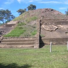
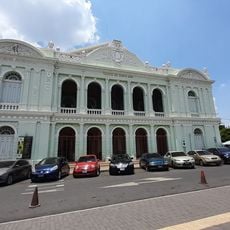
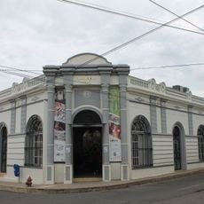
The department was established on February 8, 1855, as one of the original territorial divisions when El Salvador was creating its administrative framework. The area subsequently became a key agricultural and industrial center in the country.
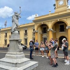
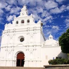
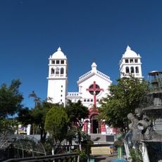
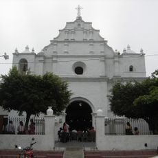
The region contains multiple municipalities where people gather throughout the year to celebrate patron saint festivals featuring traditional music, dance, and local cuisine. These celebrations shape daily rhythms and reinforce community bonds through shared customs passed down over time.
The area is served by major highways that connect Santa Ana city to San Salvador and provide access across its municipalities. Keep in mind that services and facilities may be more limited in rural sections of the region.
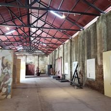
The region contains several coffee processing facilities dating to the 19th century that reflect its role in early agricultural expansion. These industrial structures remain visible in the countryside and offer insight into the area's economic development.
Location: El Salvador
Inception: February 8, 1855
Capital city: Santa Ana
Part of: Western Zone of El Salvador
Shares border with: La Libertad Department, Ahuachapán Department, Sonsonate Department, Chalatenango Department, Jutiapa Department, Chiquimula Department
GPS coordinates: 13.99474,-89.55661
Latest update: December 7, 2025 10:08
Tazumal
12.8 km
Joya de Cerén
28.5 km
San Andrés, El Salvador
28.2 km
Izalco
21.7 km
Santa Ana Volcano
17.8 km
Santa Ana Cathedral, El Salvador
126 m
Casa Blanca, El Salvador
12.5 km
Chingo
23 km
Los Volcanes National Park
20 km
National Theatre of Santa Ana
79 m
Estadio Óscar Quiteño
2.4 km
Parque Libertad
2 m
El Trapiche
12.2 km
Santa Teresa Hot Springs.
30.2 km
Estadio Jorge Calero Suárez
39.3 km
Iglesia de San Pedro Apóstol
39.4 km
Salto Malacatiupán
26.2 km
Teatro Nacional de Santa Ana
79 m
Casa Blanca Archaeological Site
12.4 km
Cinotepeque
33.8 km
Museo del Ferrocarril
35.8 km
Cerro Singüil
10.4 km
Railway Museum Plaza
35.4 km
Centro para la Cultura y las Artes "Dr. Alfredo Espino"
32.6 km
Sonsonate Cemetery
35.2 km
Iglesia Juayua
26.3 km
Iglesia del Calvario
39.8 km
Los Volcanes Sector Los Andes National Park
15.6 kmVisited this place? Tap the stars to rate it and share your experience / photos with the community! Try now! You can cancel it anytime.
Discover hidden gems everywhere you go!
From secret cafés to breathtaking viewpoints, skip the crowded tourist spots and find places that match your style. Our app makes it easy with voice search, smart filtering, route optimization, and insider tips from travelers worldwide. Download now for the complete mobile experience.
A unique approach to discovering new places❞
— Le Figaro
All the places worth exploring❞
— France Info
A tailor-made excursion in just a few clicks❞
— 20 Minutes