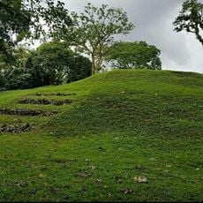
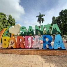
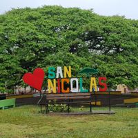
Santa Bárbara Department, Administrative department in western Honduras
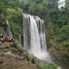
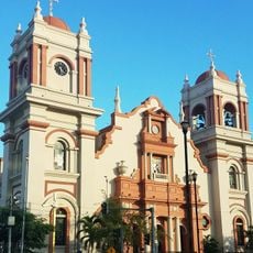
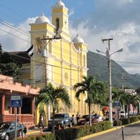
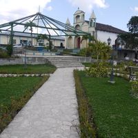
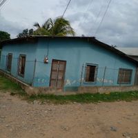
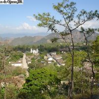
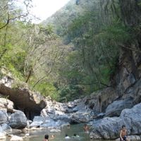
Santa Bárbara Department is an administrative region in western Honduras that encompasses several municipalities and towns along with rural areas. The territory is shaped by agricultural lands, forests, and urban centers, with the capital city serving as the main hub for government and commerce.
The region was established in 1825 as part of Honduras's first administrative division following independence, forming one of the nation's early territorial units. This initial organization set the foundation for how the country remains divided into regions today.
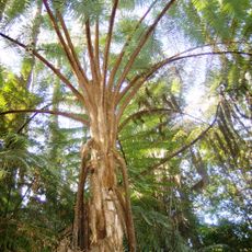
Local communities practice traditions tied to coffee farming and wood processing, passing down craft techniques through families and the wider region. These daily activities shape how people live and work across the territory.
The region connects to major cities through national highways, making it accessible by road from different directions. The capital city is a useful base for exploring the surrounding municipalities and landscapes.
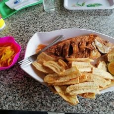
Local artisans prepare traditional dishes like chilate and ticuco that have been part of everyday life for generations. The region is also home to extensive mahogany and cedar forests that remain economically important.
The community of curious travelers
AroundUs brings together thousands of curated places, local tips, and hidden gems, enriched daily by 60,000 contributors worldwide.