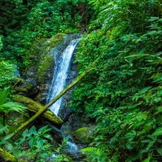
Pulhapanzak, Waterfall in San Francisco de Yojoa, Honduras.
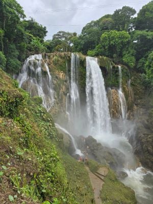
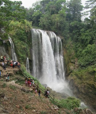
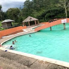
Pulhapanzak is a waterfall on the Rio Lindo river in San Francisco de Yojoa that plunges about 43 meters down, creating constant mist across the area. The site offers various activities including zip lining, cave exploration, and tube rides down the river.
The name comes from the Maya language and means river overflow, reflecting the long presence of indigenous peoples in the region. This natural formation has been an important landmark in the landscape for centuries.
The name comes from the Maya language and connects the place to the indigenous peoples who have lived in this region for centuries. Local families gather here for celebrations and social occasions, showing how central the waterfall is to community life.
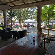
The site is easily reached by car and has parking available along with basic visitor facilities. It is best to arrive early in the day when it is less crowded, and wear appropriate shoes and water-resistant clothing.
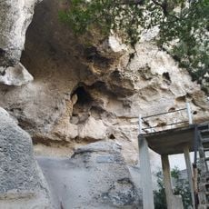
Visitors can walk behind the water curtain on guided tours and explore caves from inside, offering an unusual view from behind the waterfall. This access creates a completely different experience compared to viewing it from a distance.
The community of curious travelers
AroundUs brings together thousands of curated places, local tips, and hidden gems, enriched daily by 60,000 contributors worldwide.