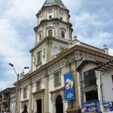
Caldas, Administrative municipality in Aburrá Valley, Colombia
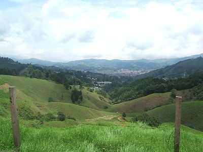
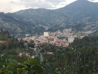
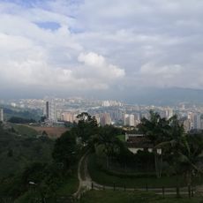
Caldas is a municipality in the Aburrá Valley in Antioquia situated at approximately 1750 meters elevation amid green mountain slopes and farmland. The terrain is mountainous and defined by agricultural fields that shape the landscape throughout the area.
The municipality was established as an administrative unit in 1840 and grew from a small settlement into an important center in the Aburrá Valley. This development made it a significant local force in the region.
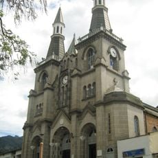
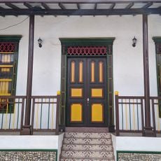
The place is deeply rooted in Antioquian traditions, which show themselves in local markets where residents regularly exchange goods and farm products. These markets reflect the rhythm of rural life and connect the town to its agricultural past.
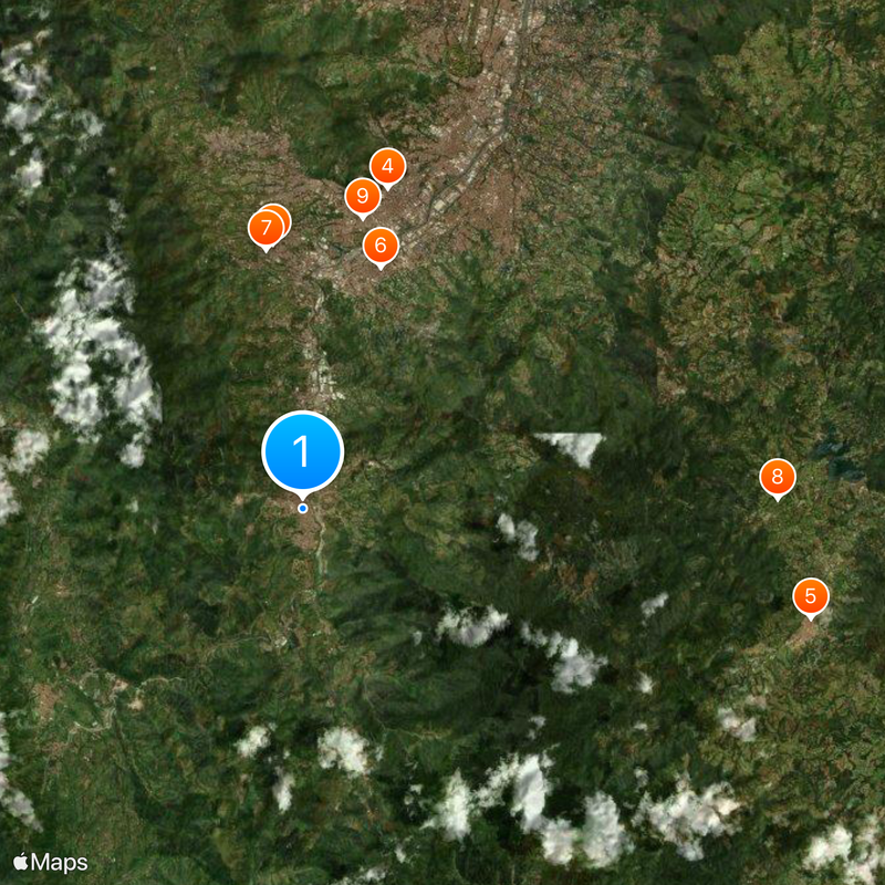
Regular bus connections link the municipality to Medellín through the southern corridor of the Aburrá Valley, with the journey taking about 45 minutes. Access is straightforward since buses run frequently and reaching the town is easy.
The area contains numerous small-scale coffee farms producing high-quality coffee beans that contribute to Colombia's international reputation. These farms showcase the subtle differences between various elevations and microclimates that shape the local coffee character.
Location: Aburrá Valley
Location: Antioquia
Inception: 1840
Elevation above the sea: 1,750 m
Website: http://caldasantioquia.gov.co/Sitio
GPS coordinates: 6.08861,-75.63611
Latest update: December 17, 2025 09:00
Basílica Menor Nuestra Señora del Rosario de Chiquinquirá, La Estrella
7.7 km
Catedral de Nuestra Señora de las Mercedes, Caldas
352 m
Biblioteca de Itagüí Diego Echavarría Misas
9.6 km
Casa Museo El Retiro
15.1 kmParque Principal Sabaneta
7.4 kmWork of art, statue
7.6 kmFinca El Paraiso🔞
13.8 kmBulebar de la parroquia san pio
8.6 kmTeatro Envigado
10.5 kmAuditorio Máximum
8.7 kmTeatro Benedikta Zur Nieden
8 kmAuditorio Ciro Mendia
434 mRio Medellin
5.6 km
Sabaneta-Parque Ecológico La Romera
5.7 kmParque El Salado
9.3 kmParque Principal El Retiro Antioquia
15.2 kmScenic viewpoint
9.6 kmScenic viewpoint
7.1 kmMirador de los caminantes
10.3 kmEcological Reserve San Sebastian De La Castellana
10.4 kmScenic viewpoint
6.5 kmLittle Waterfall Arenales
7.7 kmPaso del Toro
12.8 kmChorro golondrina
8.6 kmCascada La Miel
5 kmChorro de Las Campanas
7.2 kmCascada La Lejía
9.3 kmChorro El Brujo
5.8 kmVisited this place? Tap the stars to rate it and share your experience / photos with the community! Try now! You can cancel it anytime.
Discover hidden gems everywhere you go!
From secret cafés to breathtaking viewpoints, skip the crowded tourist spots and find places that match your style. Our app makes it easy with voice search, smart filtering, route optimization, and insider tips from travelers worldwide. Download now for the complete mobile experience.
A unique approach to discovering new places❞
— Le Figaro
All the places worth exploring❞
— France Info
A tailor-made excursion in just a few clicks❞
— 20 Minutes