Antioquia, Administrative department in northwestern Colombia
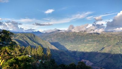
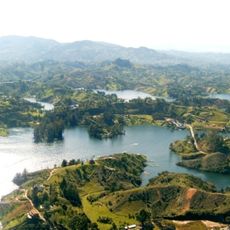
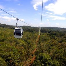
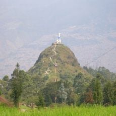
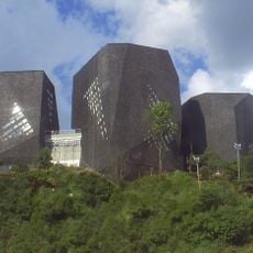
This department in northwestern Colombia covers a wide area that includes mountains, valleys, and coastal strips along the Caribbean. The land shifts from tropical lowlands near the coast to Andean highlands that rise above 2000 meters in some zones.
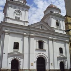
The territory became a formal department in the mid-1800s after passing from indigenous hands through Spanish rule to the republic. Gold mining and farming drove its economy and turned it into a driver of national growth.
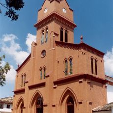
Coffee culture shapes daily life here, visible in the way families gather around small cups and how the aroma fills markets and squares. Local festivals bring out traditional music, dance, and dishes that mix African, indigenous, and Spanish flavors in a way anyone can taste and feel.
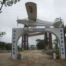
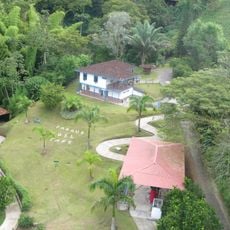
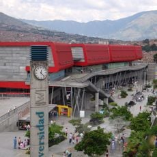
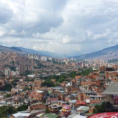
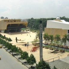
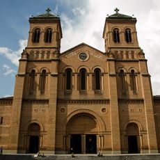
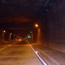
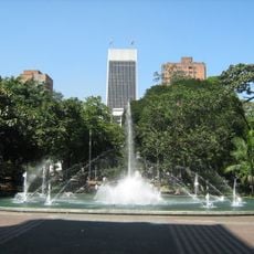
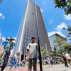
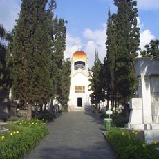
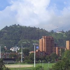
The department includes more than a hundred municipalities with different characters, from coastal villages to mountain towns connected by roads and regional transport lines. Medellín acts as a central hub from which travelers can easily explore the surrounding countryside.
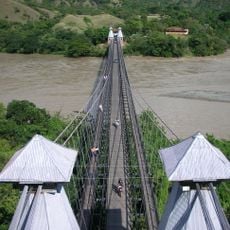
The territory runs from the Magdalena River all the way to the Caribbean coast, forming a natural corridor between highlands and sea. This range makes it possible to travel from mountain coffee farms to tropical beaches in just a few hours.
Location: Colombia
Inception: 1826
Capital city: Medellín
Elevation above the sea: 2,099 m
Shares border with: Córdoba Department, Bolívar Department, Santander Department, Boyacá Department, Caldas Department, Risaralda Department, Chocó Department
Website: http://antioquia.gov.co
GPS coordinates: 6.68333,-75.56667
Latest update: December 11, 2025 19:18
Puente de Occidente
28.2 km
Basílica del Señor de los Milagros, San Pedro de los Milagros
24.7 km
Peñón de Entrerríos
16.6 km
Our Lady of the Rosary of Chiquinquirá Cathedral
12.3 km
Basílica de Nuestra Señora de las Misericordias, Santa Rosa de Osos
12.7 km
Capilla del Señor de la Humildad, Santa Rosa de Osos
12.5 km
Capilla de la congregación de Hermanas Clarisas
13.2 km
Capilla de la Sagrada Familia
12.5 km
Lac Rio Grande
22.1 km
Lac Miraflores
28.7 km
Playas Espinal
19 km
Cascadas de Orobajo
15.7 km
Teatro Municipal
14.1 km
Teatro
14.1 km
Peñon de Entrerrios
16.6 km
Work of art
28 km
Mirador del Río
17.6 km
Laguna Páramo de Belmira
11 km
Mirador Páramo de Belmira
10.8 km
Puente de Occidente José María Villa
28 km
Cascada Bocatoma
26.8 km
El Salto de Tajamí
25.8 km
Cascada "Las Golondrinas"
10.7 km
Cascada Los Cristos
22.7 km
Cascada de La Virgen
22.7 km
Cascada La Capilla
22.8 km
Cascada La Serena-El Chaquiro
12.7 km
Cascada Piedra Gorda
28.6 kmVisited this place? Tap the stars to rate it and share your experience / photos with the community! Try now! You can cancel it anytime.
Discover hidden gems everywhere you go!
From secret cafés to breathtaking viewpoints, skip the crowded tourist spots and find places that match your style. Our app makes it easy with voice search, smart filtering, route optimization, and insider tips from travelers worldwide. Download now for the complete mobile experience.
A unique approach to discovering new places❞
— Le Figaro
All the places worth exploring❞
— France Info
A tailor-made excursion in just a few clicks❞
— 20 Minutes