Enable Location

We need your location to show you interesting places around you

Discover nearby places

Find interesting locations and hidden gems around you

Precise directions

Get accurate directions and distances to places

Your location is never shared with other users. It's only used when you tap the location button.

Rafael Uribe Uribe

Log in to your account

Start exploring — it's free

Trusted by 61,464 travelers worldwide

Continue with Google
Continue with Apple
or

We will send you a code to connect

By continuing, you accept our Terms and Conditions and our Privacy Policy

Check your inbox

We've sent a pincode in your inbox. Please enter the code below.

Rafael Uribe Uribe

Rafael Uribe Uribe, Administrative district in southeastern Bogotá, Colombia.

Description

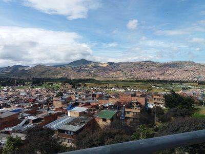
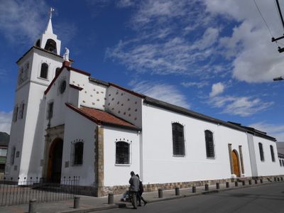
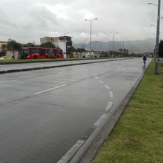
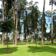
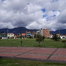
Rafael Uribe Uribe is an administrative district in southeastern Bogotá that sits at approximately 2,600 meters above sea level and contains residential neighborhoods, commercial streets, and public services. The area is organized around major routes including Avenida Primero de Mayo and benefits from TransMilenio bus rapid transit connections.

History

The district took its name from Liberal General Rafael Uribe Uribe and underwent major urban development starting in the 1940s. This expansion gradually transformed the area from open countryside into an integrated part of Bogotá's urban landscape.

Culture

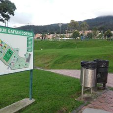
The district houses multiple community centers that regularly organize educational programs, workshops, and social activities for the local population of 378,780 residents.

Practical

The area is well served by the TransMilenio bus system, which connects residents and visitors quickly to other parts of the city. The relatively flat to gently sloping terrain makes it easy to navigate on foot throughout the district.

Did you know?

The district maintains a population density of 27,000 residents per square kilometer, making it one of the most concentrated residential areas in Bogotá.

Location
Elevation above the sea
2,600 m
Reference
18
Address
Rafael Uribe Uribe, Bogotá, Bogota, Colombia
GPS coordinates
4.57972,-74.11750
Latest update
December 14, 2025 21:13

AroundUs brings together thousands of curated places, local tips, and hidden gems, enriched daily by 60,000 contributors worldwide. Discover all places nearby (Bogotá).

« Rafael Uribe Uribe - Administrative district in southeastern Bogotá, Colombia » is provided by Around Us (aroundus.com). Images and texts are derived from Wikimedia project under a Creative Commons license. You are allowed to copy, distribute, and modify copies of this page, under the conditions set by the license, as long as this note is clearly visible.

Discover hidden gems everywhere you go!

From secret cafés to breathtaking viewpoints, skip the crowded tourist spots and find places that match your style. Our app makes it easy with voice search, smart filtering, route optimization, and insider tips from travelers worldwide. Download now for the complete mobile experience.

Around Us App Screenshot

A unique approach to discovering new places

Le Figaro

All the places worth exploring

France Info

A tailor-made excursion in just a few clicks

20 Minutes

Around Us
Travel Guide & Maps
Download

Send to your phone

QR Code
1

Open the camera app on your mobile.

2

Point at the QR code with your camera. A notification will appear.

3

Tap the notification to open the link.