
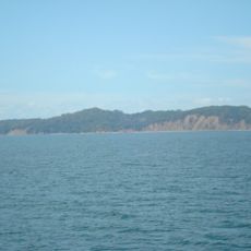
Tárcoles, district in Garabito canton, Puntarenas province, Costa Rica
Location: Garabito Canton
Inception: November 30, 1988
Elevation above the sea: 36 m
GPS coordinates: 9.77590,-84.62553
Latest update: March 18, 2025 14:24
San Lucas Island
35.6 km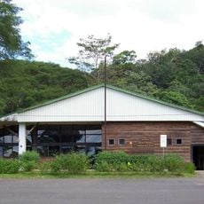
Carara National Park
3.2 km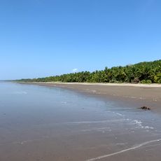
Esterillos
34.9 km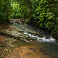
La Cangreja National Park
28.5 km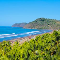
Spiaggia Jacó
18.5 km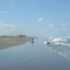
Playa Hermosa-Punta Mala Wildlife Refuge
22.6 km
Our Lady of Mount Carmel Cathedral, Puntarenas
32.1 km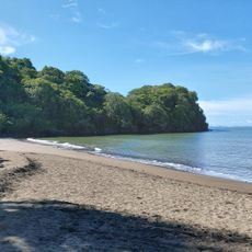
Playa Doña Ana
23.6 km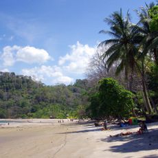
Playa Mantas
8.7 km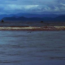
Tivives Protected Zone
14.4 km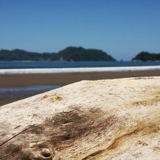
Playa Órganos
30.3 km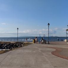
Phare de Puntarenas
33.3 km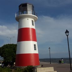
Lighthouses in Puntarenas
31.2 km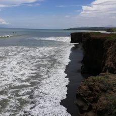
Playa Guacalillo
6.5 km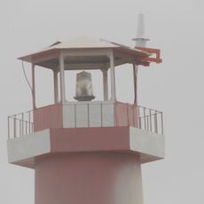
Isla Herradura Lighthouse
17.4 km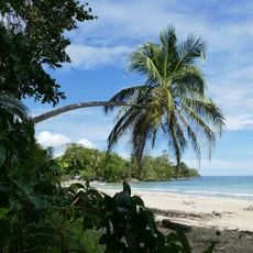
Playa Blanca
9.5 km
Playa Naranjo
41.6 km
Playa Pájaros
33.7 km
Playa Boca de Barranca
24.6 km
Puntarenas
32.4 km
Playa Panamá
35.6 km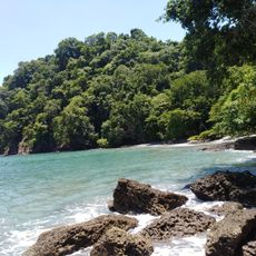
Playa Limoncito
8.1 km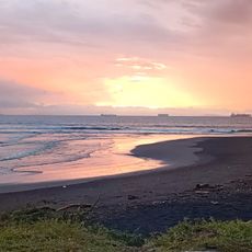
Playa Caldera
20.5 km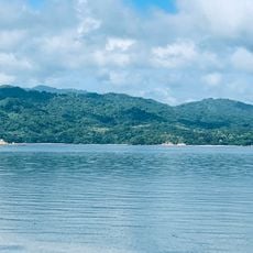
Playa Tumbabote
36.9 km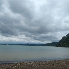
Playa Bochinche
5.3 km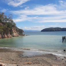
Playa Camarón
28 km
Playa Mora
34.8 km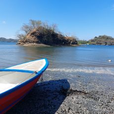
Playa Cuchillo
29.4 kmReviews
Visited this place? Tap the stars to rate it and share your experience / photos with the community! Try now! You can cancel it anytime.
Discover hidden gems everywhere you go!
From secret cafés to breathtaking viewpoints, skip the crowded tourist spots and find places that match your style. Our app makes it easy with voice search, smart filtering, route optimization, and insider tips from travelers worldwide. Download now for the complete mobile experience.

A unique approach to discovering new places❞
— Le Figaro
All the places worth exploring❞
— France Info
A tailor-made excursion in just a few clicks❞
— 20 Minutes