La Chorrera District, Administrative district in Panamá Oeste Province, Panama
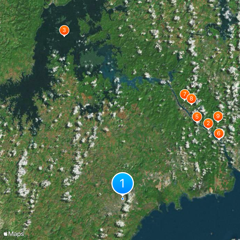
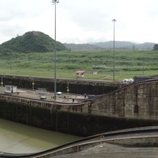
La Chorrera is an administrative district in Panamá Oeste Province, located about 30 kilometers southwest of Panama City. The district covers 770 square kilometers and is crossed by the Pan-American Highway, which serves as the main transport artery.
The district was established in 2014 as part of an administrative reform, when five districts from Panama Province formed the new Panamá Oeste Province. This restructuring aimed to bring local government closer to residents and encourage regional development.
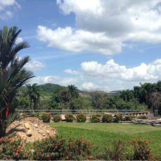
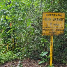
The name La Chorrera refers to an old waterfall near the district capital, still visible today and shaping the identity of the area. Visitors notice the agricultural landscape with its cultivated fields and small markets where regional produce is sold.
The district is easily reached from Panama City via the Pan-American Highway, making daily commutes and goods transport straightforward. Travelers will find several communities and rural areas within the district that offer a glimpse into local farming and life beyond the capital.
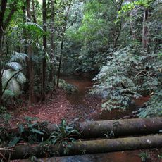
The district supplies roughly two percent of Panama's total lumber production, even though it is mainly known for farming and cattle raising. The extensive grasslands and forests together form a mixed landscape of pastures, fields and tree cover.
The community of curious travelers
AroundUs brings together thousands of curated places, local tips, and hidden gems, enriched daily by 60,000 contributors worldwide.