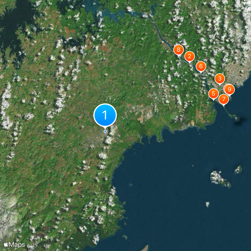
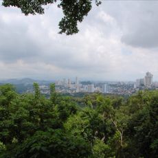
Panamá Oeste Province, Province in western Panama
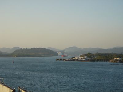
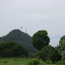
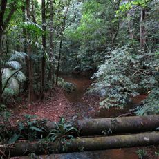
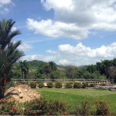
Panamá Oeste sits west of the Panama Canal and extends from the Pacific coast inland toward rolling hills and valleys. The five districts cover coastal communities and rural areas with scattered towns and farms.
The administrative unit formed in 2014 when the area west of the canal separated from Panama Province. This reorganization responded to population growth and the need for regional administration.
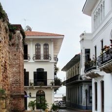
Communities here maintain traditions tied to farming and coastal life, with many residents working the land or fishing along the shore. Local markets display fresh produce and handmade goods that reflect daily life in the smaller towns.
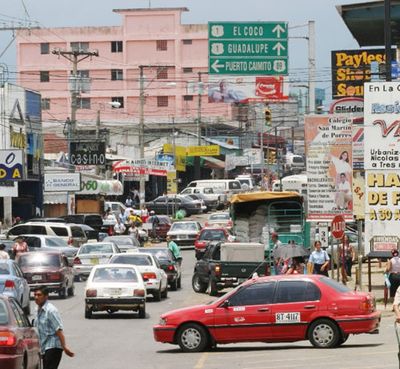
The Pan-American Highway links the towns and runs from the capital into the region. Public transport and taxis operate between districts, with travel times depending on local conditions.
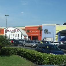
Arraiján District grows faster than any other in the country, as residents from the capital move to the surrounding area. New housing developments appear between older communities and change the landscape noticeably.
Location: Panama
Inception: January 1, 2014
Capital city: La Chorrera
GPS coordinates: 8.88028,-79.78330
Latest update: December 4, 2025 23:05
Bridge of the Americas
25 km
Miraflores Locks Visitors Center
24.8 km
Centennial Bridge, Panama
23.3 km
Miraflores
24.7 km
Altos de Campana National Park
26.3 km
Summit Municipal Park
25.5 km
Camino de Cruces National Park
26.8 km
Fort Amador
26.7 km
Estadio Maracaná
26.7 km
Monument for the Martyrs of January 9, 1964
26.4 km
Panamá City Panamá Temple
26.5 km
Monumento a Goethals
26.5 km
Mausoleo al General Omar Torrijos Herrera y área circundante
26.4 km
Cementerio de Corozal Silver
25.8 km
Ferrocarril
26 km
Balboa Union Church
26.2 km
Monumento a los Mártires
26.3 km
Balboa Theatre (Teatro Balboa)
26.1 km
Área del Morro y La Restinga
26.7 km
Monumento a Arnulfo Arias
26.2 km
Panama Canal Administration Building
26.6 km
El Prado y su entorno
26.4 km
Former Commander’s Residence (Ciudad del Saber)
25.9 km
Ateneo
25.7 km
Residencia original del Comandante / Actual Centro de Visitantes
25.9 km
Edificio 104
25.7 km
Esclusas de Pedro Miguel
24.3 km
Puente de las Américas
25.1 kmVisited this place? Tap the stars to rate it and share your experience / photos with the community! Try now! You can cancel it anytime.
Discover hidden gems everywhere you go!
From secret cafés to breathtaking viewpoints, skip the crowded tourist spots and find places that match your style. Our app makes it easy with voice search, smart filtering, route optimization, and insider tips from travelers worldwide. Download now for the complete mobile experience.
A unique approach to discovering new places❞
— Le Figaro
All the places worth exploring❞
— France Info
A tailor-made excursion in just a few clicks❞
— 20 Minutes