Costa Rica–Panama border, International boundary between Central American nations in La Amistad region, Costa Rica and Panama.
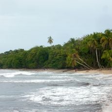
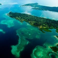
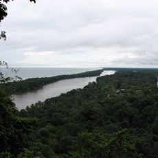
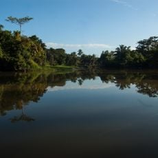
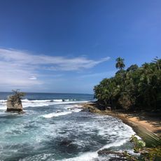
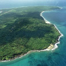
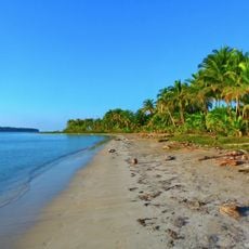
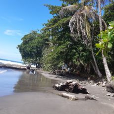
The Costa Rica–Panama border is a land boundary stretching from the Caribbean coast to the Pacific Ocean, passing through diverse landscapes and ecosystems. Its path follows natural features including the Sixaola River in the north and the Talamanca mountain range in the south, with large portions designated as protected territory.
The boundary was established through the Echandi-Fernández Treaty of 1941, following earlier international arbitration that clarified the border line through earlier agreements. These agreements shaped the border region as it exists today and set the foundation for cooperation between both nations in this area.
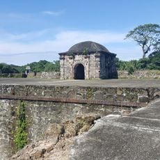
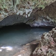
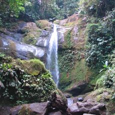
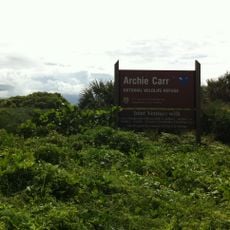
The boundary runs through La Amistad International Peace Park, where both nations work together on environmental projects that visitors can observe through educational displays and ranger programs. Local communities on both sides maintain traditions of cross-border trade and family connections that have persisted for generations.
Crossing at official checkpoints requires a valid passport and possibly proof of onward travel or sufficient funds, which officials may request. Travelers should allow time to gather required documents before attempting to cross and check local border regulations beforehand.
A striking section of the boundary runs as an almost straight line through the Talamanca Mountains within La Amistad park, cutting through ecosystems in an unusual geometric pattern. This unconventional path is a result of historical negotiations and remains visually distinctive when viewed on maps or from certain vantage points in the mountains.
The community of curious travelers
AroundUs brings together thousands of curated places, local tips, and hidden gems, enriched daily by 60,000 contributors worldwide.