Cahuita National Park

Log in to your account

AroundUs is a community-driven map of interesting places, built by curious explorers like you. It grows with every review, story, and photo you share.
Connect to save your favorite spots, contribute locations, and create personalized routes.
Continue with Google
Continue with Apple
Continue with X
Continue with Facebook
Continue with email
By continuing, you accept our Terms and Conditions and our Privacy Policy
Create an account
Add to collection
Map
Suggest a change
Share

Cahuita National Park, National park in Cahuita, Costa Rica

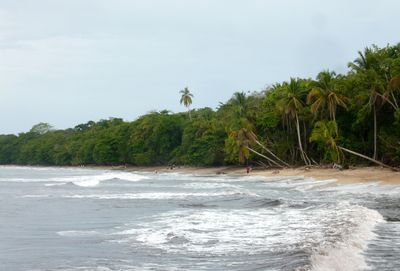
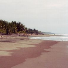
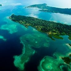
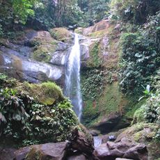
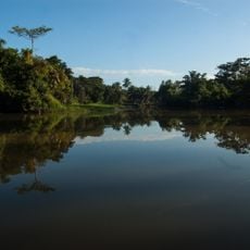
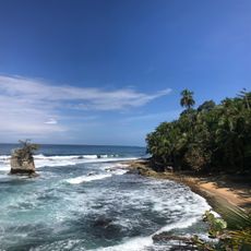
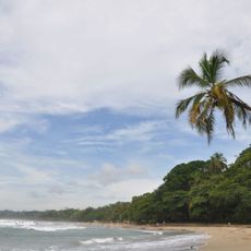
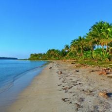
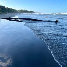
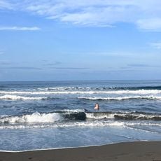
Cahuita National Park is a protected area along Costa Rica's Caribbean coast that combines tropical forest and marine zones into a single ecosystem. The park features sandy beaches, forest trails, and coral reefs that you can explore on foot or by swimming in designated areas.

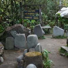
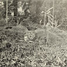
The first permanent settlement in the area dates to the early 1800s, when families began farming tropical crops along the shore. The land was later designated as a national park to protect its coastal ecosystems and forest from development.

The area reflects the heritage of people of African descent who settled here generations ago, and their presence shapes daily life, local food, and the community's character. Walking through nearby villages, you notice this cultural imprint in conversations, music, and traditions that remain central to the region.

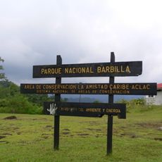
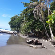
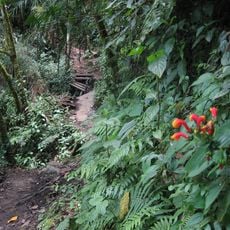
The park has two entrance points, and you can explore it by walking trails that wind through forest and lead to the coast. Wear good shoes since the paths are often muddy and rooted, especially after rain, and plan to spend several hours walking.

The park holds the most developed coral reef system along Costa Rica's Caribbean waters, home to a wide range of marine animals. Many visitors overlook the fact that you can see corals and tropical fish from the beach with basic snorkeling gear, no boats needed.

Location: Cahuita

Inception: 1982

Operator: Área de Conservación La Amistad Caribe (ACLAC)

Opening Hours: 07:00-16:00

GPS coordinates: 9.72917,-82.82500

Latest update: December 6, 2025 17:40

Photos
Photo locations in Costa Rica

Costa Rica spans 19,700 square miles (51,100 square kilometers) between the Pacific Ocean and Caribbean Sea, offering photographers a concentration of varied landscapes within a compact area. The country maintains over 30 national parks and protected areas, including Arenal Volcano, whose...

Reviews

Visited this place? Tap the stars to rate it and share your experience / photos with the community! Try now! You can cancel it anytime.

« Cahuita National Park - National park in Cahuita, Costa Rica » is provided by Around Us (aroundus.com). Images and texts are derived from Wikimedia project under a Creative Commons license. You are allowed to copy, distribute, and modify copies of this page, under the conditions set by the license, as long as this note is clearly visible.

Discover hidden gems everywhere you go!

From secret cafés to breathtaking viewpoints, skip the crowded tourist spots and find places that match your style. Our app makes it easy with voice search, smart filtering, route optimization, and insider tips from travelers worldwide. Download now for the complete mobile experience.

Around Us App Screenshot

A unique approach to discovering new places

Le Figaro

All the places worth exploring

France Info

A tailor-made excursion in just a few clicks

20 Minutes