Cerro de la Muerte, Mountain summit on Pan-American Highway, Costa Rica
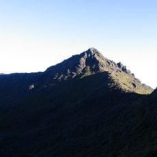
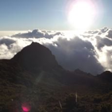
Cerro de la Muerte, also called Cerro Buena Vista, is a 3,491-metre massif in the Talamanca range, on the border of Cartago and San José provinces. The Pan-American Highway reaches its highest point nearby at about 3,335 metres, marked by a sign where a vehicle track and a short hiking trail begin.
The name comes from the days when crossing the massif from the Central Valley took three or four days on foot or horseback, and ill-prepared travelers died of cold and rain. By Congressional Decree No. 45 of 5 August 1908, three rest houses were ordered; División, La Muerte and Ojo de Agua were built between 1910 and 1912 at a cost of ₡1,749.47, spaced 10 to 12 hiking hours apart. Guests had to leave firewood ready for the next traveler.
The name "Mountain of Death" comes from the days when crossing the massif from the Central Valley took three or four days on foot or horseback, and ill-prepared travelers died of cold and rain. Three rest houses, División, La Muerte and Ojo de Agua, were built between 1910 and 1912 at 10 to 12 hour intervals; guests had to leave firewood for the next traveler. The Ojo de Agua refuge now serves as a small museum.
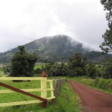
The location is easily accessible from the Pan-American Highway, but weather can be unpredictable and foggy or windy. Bring warm clothing since temperatures drop significantly at this altitude.
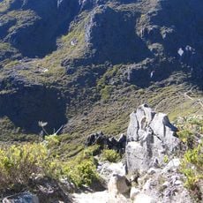
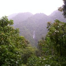
Above 3,300 meters, a specialized páramo ecosystem thrives with dwarf bamboo and tree ferns. These rare plants reveal how life adapts to the extreme conditions found at this altitude.
The community of curious travelers
AroundUs brings together thousands of curated places, local tips, and hidden gems, enriched daily by 93,786 contributors worldwide.