Irazú Volcano National Park, National park in Cartago Province, Costa Rica
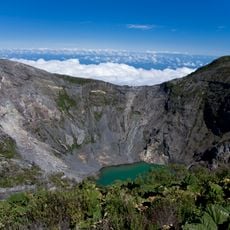
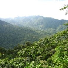
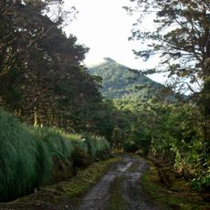
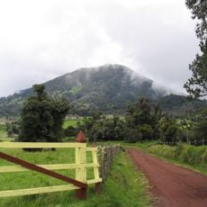
Irazú Volcano National Park covers 2,000 hectares of Cartago Province, from the summit of Costa Rica's tallest active volcano down to the Prusia Forest Reserve. Lava flows, volcanic ash and pyroclastic rock cover most of the ground, and low subalpine páramo vegetation grows around the craters. The main crater holds a turquoise lake whose colour, temperature and depth shift constantly.
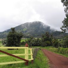
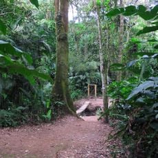
The first eruption reported in writing came in 1723, described by governor Diego de la Haya Fernández, who noted religious processions held to calm the volcano; a crater now bears his name. The park was created by Law 1917 on 30 July 1955, making it one of Costa Rica's first two national parks. Eruptions from March 1963 to 1964 devastated the forests, and reforestation began in 1966 at what is now the Prusia sector.
The name likely derives from an indigenous settlement on the volcano's slopes recorded as Iztarú in documents dating to 1569; "Irazú" appears in no old document and may be a misreading of it. According to Monsignor Bernardo Augusto Thiel Hoffman, "Ira-" reads as I ara: tremor and thunder. The volcano was also called Volcán de Cartago, Volcán de Cob and Volcán de Agua.
The site has restroom facilities, picnic areas, and parking spaces, all accessible by paved roads from both Cartago and San José. Plan for a full day visit and check weather conditions, as visibility from the summit depends heavily on clear skies.
From the summit at 3,432 meters, visitors can see both the Pacific Ocean and the Caribbean Sea on clear days. This rare vantage point makes the spot a favorite for photographers and anyone seeking a broad view of Costa Rica's geography.
The community of curious travelers
AroundUs brings together thousands of curated places, local tips, and hidden gems, enriched daily by 93,942 contributors worldwide.