Turrialba, Active stratovolcano in Cartago Province, Costa Rica.
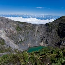
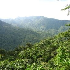
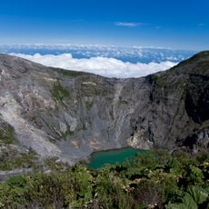
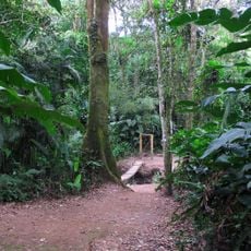
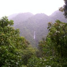
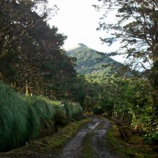
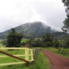
Turrialba is a complex stratovolcano in Cartago Province, Costa Rica, 24 km from the city of Turrialba. Its summit at 3,340 m holds three craters aligned northeast to southwest: the central one 700 m wide with a small rain-fed lagoon, the eastern one 800 m wide and walkable, and the western one 600 m wide, the active crater. Dense forest covers the slopes.
Turrialba erupted repeatedly in the 19th century, with ash emissions in 1847, 1853, 1855, 1859 and 1866; the 1866 blast was its last major eruption. Small signs of activity began again in 1996, and stronger fumarole activity was reported in January 2001. A phreatic eruption on 8 January 2010 opened a new vent southwest of the crater and forced the evacuation of La Central and El Retiro.
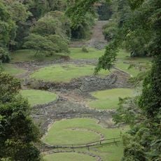
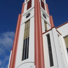
The name Turrialba is recorded in old documents as Turrialva, Turiarba and Zurriarba, first mentioned in 1569. Historians reject the Latin turris alba (white tower) legend and the Aragonese surname Torrealba; the accepted origin is the Huetar language, though its roots are debated. At the foot of the volcano stands Guayabo National Monument, the country's main pre-Columbian ceremonial site.
Visitors should use a four-wheel drive vehicle to handle the unpaved roads leading to the park and prepare for rapid weather shifts at higher elevations. Visibility from the summit depends heavily on cloud cover, so early morning visits often yield clearer skies.
Turrialba shares its base with Irazú, and the pair are called the twin volcanoes. The summit holds three craters aligned northeast to southwest: the central one, 700 m across, keeps a small rain-fed pool about 8 m wide, while the eastern crater, 800 m across, can be walked on and holds a pool that easily evaporates.
The community of curious travelers
AroundUs brings together thousands of curated places, local tips, and hidden gems, enriched daily by 93,766 contributors worldwide.