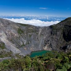
Cerro Chirripó, Mountain summit in Talamanca Range, Costa Rica
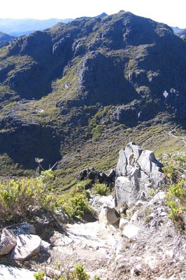
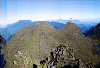
Cerro Chirripó is the highest peak in Costa Rica, reaching 3,821 meters above sea level within Chirripó National Park. The mountain displays different plant and animal life across its elevation, changing noticeably as you climb higher.
Indigenous peoples once traveled through the mountain to connect settlements across different elevation zones of the Talamanca Range. These pathways served as vital routes for trade and movement between highland and lowland communities.
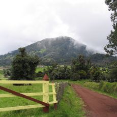
The mountain holds meaning for surrounding communities who use its trails for hiking and connecting with the landscape. People from nearby villages view it as a defining feature of their region and a place worth exploring.
Advance permits and reservations are needed before visiting, with overnight stays available at a shelter near the summit that accommodates a small number of people. Prepare for changing weather and steep trails, as the climb requires physical fitness and proper planning.
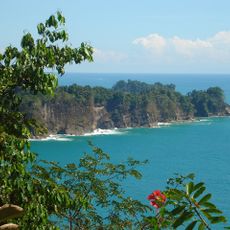
On clear days, visitors can see both the Pacific Ocean and the Caribbean Sea from the summit, viewing opposite sides of Costa Rica from a single location. This rare view connects two major coastlines across the country's width.
The community of curious travelers
AroundUs brings together thousands of curated places, local tips, and hidden gems, enriched daily by 60,000 contributors worldwide.