Barbilla National Park, National park in Turrialba Canton, Costa Rica.
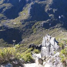
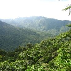
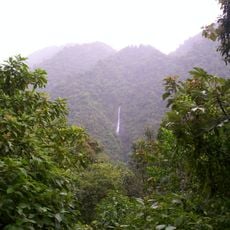
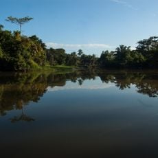
Barbilla National Park protects over 119 square kilometres of lowland tropical rainforest on the eastern slopes of the Cordillera de Talamanca, in Cartago and Limón Provinces. Elevations run from 100 to 1,500 metres, and the highest point is Cerro Tigre at 1,167 metres. The park also takes in Laguna Ayil and the watershed of the Río Dantas.
Barbilla was designated a biological preserve in 1982 and upgraded to a national park in 1998. It lies on the eastern slopes of the Cordillera de Talamanca, in the La Amistad Caribbean Conservation Area, and covers over 11,938 hectares in Cartago and Limón provinces.
The park lies within Cabécar territory: the Nairi-Awari indigenous territories border its northwest and northeast edges, Chirripó lies to the south and southwest, and Bajo Chirripó to the east. The Cabécar are Costa Rica's second-largest indigenous group, and the unpaved access road descends through their farms to the Río Dantas.
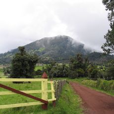
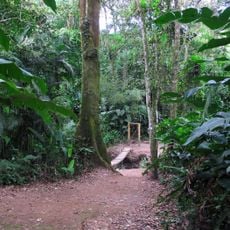
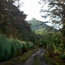
Access is via a 17 km unpaved road that begins 2–3 km east of Siquirres and takes about an hour to drive. The track descends through Cabécar farms to the Río Dantas; the main trail crosses the river and climbs the opposite hill southward, with smaller side trails. Administrative buildings stand outside the park at Brisas de Pacuarito.
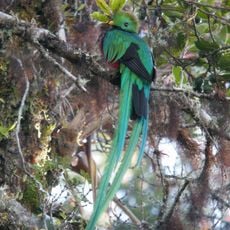
The area remains one of the least visited nature reserves in the country, so hikers often encounter animals that have not grown accustomed to human presence like in other parks. This solitude makes it a special place for nature-focused travelers.
The community of curious travelers
AroundUs brings together thousands of curated places, local tips, and hidden gems, enriched daily by 94,048 contributors worldwide.