
Pinto, Colombian municipality of the department of Magdalena
Location: Magdalena Department
Elevation above the sea: 22 m
Website: http://santabarbaradepinto-magdalena.gov.co
GPS coordinates: 9.43528,-74.70167
Latest update: March 4, 2025 21:42
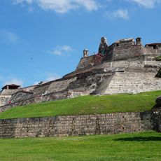
Castillo de San Felipe de Barajas
143.1 km
Puerta del Reloj, Cartagena
144 km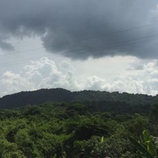
Los Colorados Fauna and Flora Sanctuary
72.3 km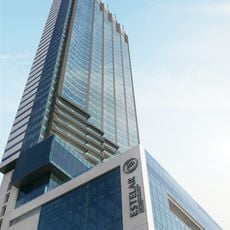
Hotel Estelar Bocagrande
143 km
Free State of Cartagena
141.4 km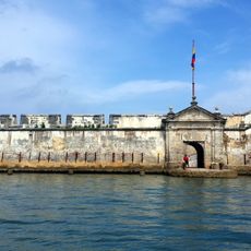
Castle of San Luis de Bocachica
137.8 km
Convento de la Popa
142 km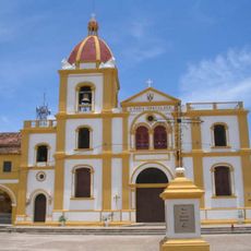
Historic Centre of Santa Cruz de Mompox
37.5 km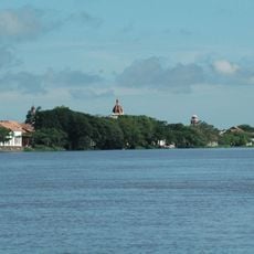
Margarita Island
45 km
El Mono Hernández Cork Forest Flora and Fauna Sanctuary
97.4 km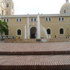
St. Francis of Assisi Cathedral, Sincelejo
77.6 km
Guillermo Piñeres Botanical Garden
129.9 km
San Basilio de Palenque
92.2 km
Rosario and San Bernardo Corals National Natural Park
134.1 km
Cathedral of Our Lady of Candelaria, El Banco
94.3 km
Biblioteca Bartolomé Calvo
144.1 km
Château de San Fernando de Bocachica
137.8 km
Tolú
97.1 km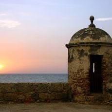
Port, Fortresses and Group of Monuments, Cartagena
142.3 km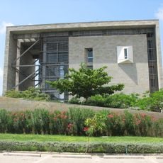
Parque Cultural del Caribe
131.3 km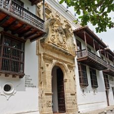
Palace of Inquisition
144.1 km
Museo del Oro, Cartagena
144.1 km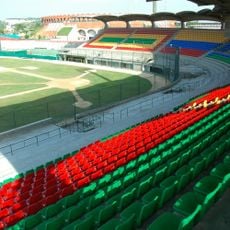
Estadio Once de Noviembre
138.6 km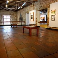
Museo de Arte Moderno de Cartagena de Indias
143.9 km
Embalse del Guájaro
124.9 km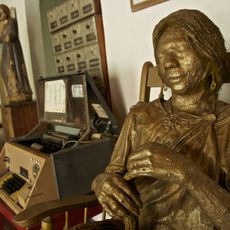
Casa del Telegrafista
140.6 km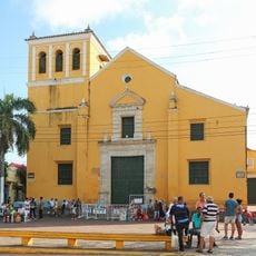
Church of la Trinidad
143.5 km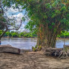
Palenquito
55.3 kmVisited this place? Tap the stars to rate it and share your experience / photos with the community! Try now! You can cancel it anytime.
Discover hidden gems everywhere you go!
From secret cafés to breathtaking viewpoints, skip the crowded tourist spots and find places that match your style. Our app makes it easy with voice search, smart filtering, route optimization, and insider tips from travelers worldwide. Download now for the complete mobile experience.

A unique approach to discovering new places❞
— Le Figaro
All the places worth exploring❞
— France Info
A tailor-made excursion in just a few clicks❞
— 20 Minutes