La Guajira Desert, Desert region across La Guajira Peninsula, Colombia and Venezuela
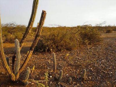
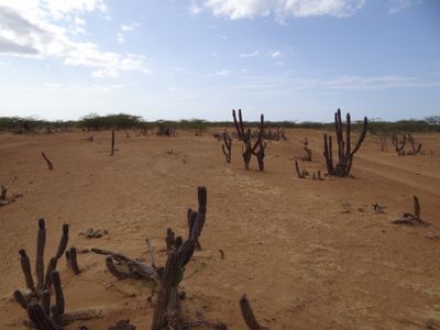
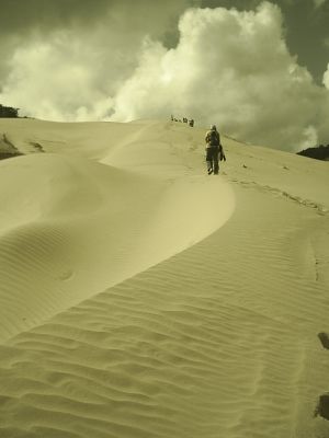
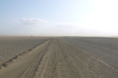
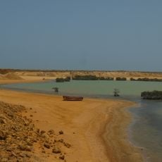
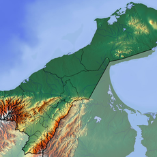
La Guajira Desert spans across the peninsula of the same name between Colombia and Venezuela, displaying dry scrubland and varied terrain along the Caribbean coastline. The region sits at South America's northernmost point and features flat plains, rocky outcrops, and coastal zones.
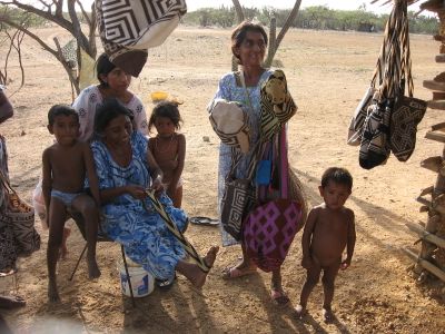
The area was historically settled by the Wayúu, who maintained their independence for centuries. Large-scale mining operations during the 20th century brought major economic and environmental changes to the region.
The Wayúu people continue their ancestral way of life here, crafting intricate handwoven textiles that reflect their heritage. You can see and purchase these textiles in communities throughout the region.
The best time to visit is during the drier season when roads are more passable and extreme heat is somewhat reduced. Bring plenty of water, wear protective clothing and sunscreen, and plan for basic accommodations as services are limited throughout the region.
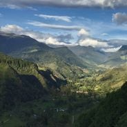
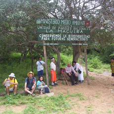
The Macuira mountain range hides within the surrounding arid landscape and contains an unexpected tropical forest zone at higher elevations. This contrasting natural area surprises visitors with an ecosystem completely different from the surrounding desert terrain.
The community of curious travelers
AroundUs brings together thousands of curated places, local tips, and hidden gems, enriched daily by 60,000 contributors worldwide.