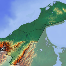
Bahía Portete – Kaurrele National Natural Park, Protected marine reserve on the La Guajira Peninsula, Colombia
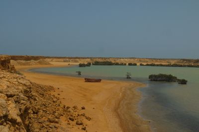
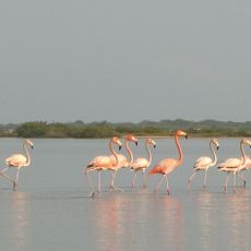
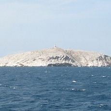
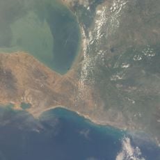
Bahía Portete-Kaurrele National Natural Park is a protected marine reserve on Colombia's northernmost coast that includes mangrove swamps, seagrass meadows, and coral reefs stretching into shallow waters. The coastal strip and surrounding areas form a varied landscape of salt water zones and dry plains.
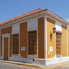
In the sixteenth century, this bay served as a gateway during Spanish conquest and became an early contact point for European presence in the region. Over time, the area developed under local influence as coastal communities shaped their own history.
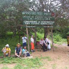
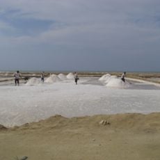
The Wayuu people have inhabited this coastal region for generations and continue to shape how the territory is used and respected today. Their presence in the area influences daily rhythms and the way the landscape is approached by those who visit.
This location is far from major cities and requires patience when traveling by various means over unpaved roads. Visitors should prepare for rough conditions and allow plenty of time for the journey, as infrastructure is limited.
This location extends farther north than any other mainland national park in South America, marking a geographic extreme point of the continent. This position gives the site special importance for conservation and scientific observation in one of the region's most remote areas.
The community of curious travelers
AroundUs brings together thousands of curated places, local tips, and hidden gems, enriched daily by 60,000 contributors worldwide.