Metepec Municipality, Municipal district in State of Mexico, Mexico.
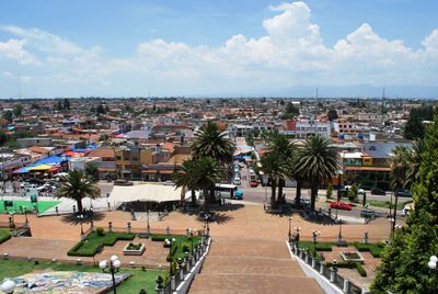
Metepec Municipality is an administrative region in the State of Mexico containing several towns and villages spread across hilly terrain. Agricultural lands cover much of the area, where residents engage in farming and related activities.
The territory was originally inhabited by Otomi and Matlatzinca peoples until 1470, when Aztec leader Axayacatl conquered the region. Spanish colonization arrived in 1526 and transformed the area's society and structure.
The area is known for its ceramics tradition, where local artisans create detailed pottery and the iconic Tree of Life sculptures. These handmade pieces are part of everyday life here and draw visitors interested in traditional Mexican craftsmanship.
The location sits west of Toluca and is relatively close to Mexico City, which visitors should consider when planning travel times or traffic. The best time to explore is during the dry season when mountain roads are easier to navigate.
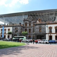
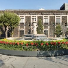
The Ex-convento de San Juan from the 16th century is the main church and displays colonial architecture with large stone walls built during the Spanish period. Smaller chapels scattered across the hills held spiritual importance for communities traveling through the region.
The community of curious travelers
AroundUs brings together thousands of curated places, local tips, and hidden gems, enriched daily by 60,000 contributors worldwide.