Juchitepec, Municipal district in State of Mexico, Mexico
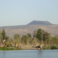
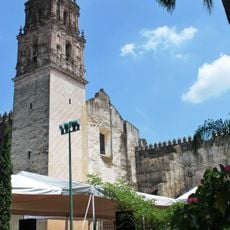
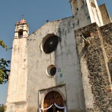
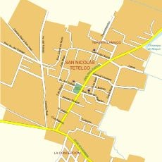
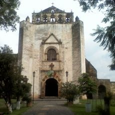
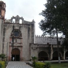
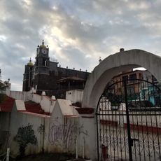
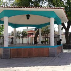
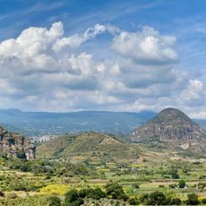
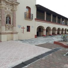
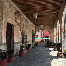
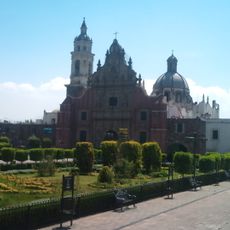
Juchitepec is a municipality in central Mexico's highlands, situated at roughly 2,500 meters elevation on fertile ground with a small town center nestled in a valley. The terrain rises and falls across rolling hills, with the Church of Santo Domingo serving as the focal point of the compact urban core.
The settlement was founded around 1381 under Aztec rule and soon became one of the first territories to fall under Spanish control as Cortés moved through the region. This combination of indigenous origin and early colonial rule shaped the place's trajectory for centuries to come.
The Church of Santo Domingo anchors the town center with its Baroque facade, serving as the gathering place for religious celebrations that structure the community's calendar. People come together here throughout the year to mark important occasions in their faith.
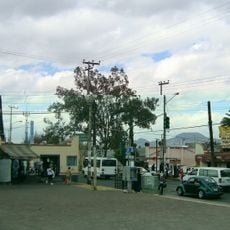
The area connects to major highways linking it to Mexico City and other nearby regions with regular bus and vehicle services. Visitors should prepare for high altitude conditions and bring layers, as temperatures drop noticeably at this elevation.
Local food specialties include cheese tamales and tlacoyos filled with corn and beans, beloved by both residents and visitors alike. A distinctive traditional drink called tecui, made from natural ingredients, stands out as another culinary highlight worth trying.
The community of curious travelers
AroundUs brings together thousands of curated places, local tips, and hidden gems, enriched daily by 60,000 contributors worldwide.