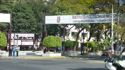
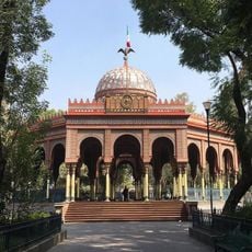
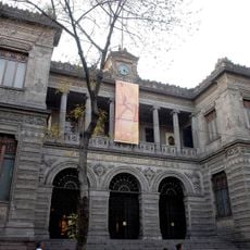
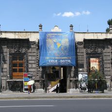
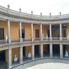
Casco de Santo Tomás, Educational complex in Miguel Hidalgo district, Mexico City, Mexico
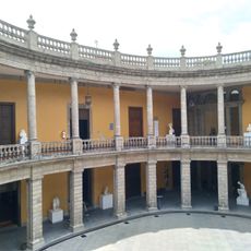
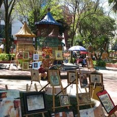
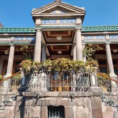
Casco de Santo Tomás is a major educational complex in Mexico City that spans multiple city blocks and contains school buildings, research laboratories, athletic facilities, and administration offices of the National Polytechnic Institute. The site combines modern academic infrastructure with green spaces and specialized facilities designed for technical training and scientific work.
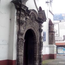
The area was originally Tlaxpana territory under Tacuba rule before becoming a hacienda established by Hernán Cortés following the Spanish conquest in the 16th century. The transformation into an educational institution occurred much later when the Polytechnic Institute relocated and developed its major campus there.
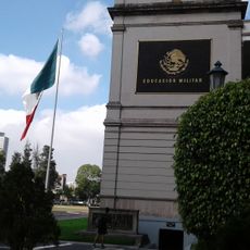
The campus serves as a hub for technical education in Mexico, hosting various specialized schools and research departments of the National Polytechnic Institute. Students and faculty from different engineering and science programs interact and work here daily.
The complex is accessible via Circuito Interior Avenue and Mexico-Tacuba Road, with multiple public transportation options connecting to different parts of Mexico City. The site is quite large, so having a map or joining a guided tour helps navigate the various buildings and facilities.
The campus preserves remnants of colonial-era aqueducts that once carried water from Chapultepec forest to the city center. These waterways, part of the Verónica or Santa Fe system, reveal the hidden infrastructure that supported early Mexico City.
The community of curious travelers
AroundUs brings together thousands of curated places, local tips, and hidden gems, enriched daily by 60,000 contributors worldwide.