Enable Location

We need your location to show you interesting places around you

Discover nearby places

Find interesting locations and hidden gems around you

Precise directions

Get accurate directions and distances to places

Your location is never shared with other users. It's only used when you tap the location button.

Tlalpan

Log in to your account

Start exploring — it's free

Trusted by 62,878 travelers worldwide

Continue with Google
Continue with Apple
or

We will send you a code to connect

By continuing, you accept our Terms and Conditions and our Privacy Policy

Check your inbox

We've sent a pincode in your inbox. Please enter the code below.

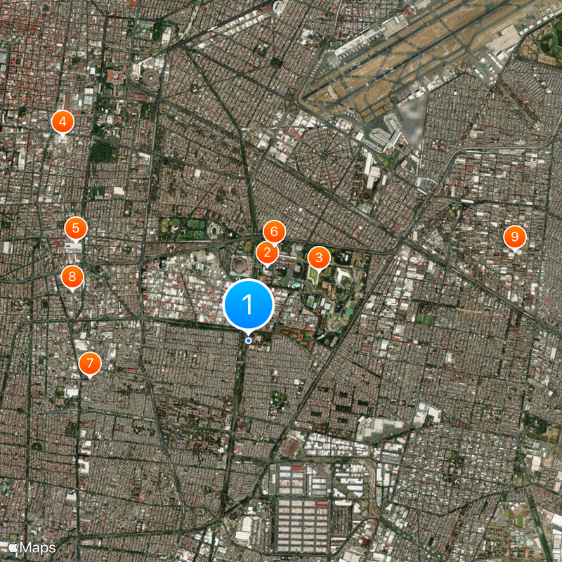
Tlalpan, Administrative district in northeastern Mexico City, Mexico.

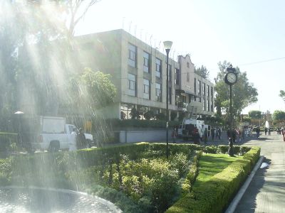
Tlalpan is an administrative district in southern Mexico City spanning roughly 312 square kilometers. The area features a mix of residential neighborhoods, green spaces, and commercial zones distributed across hilly terrain.

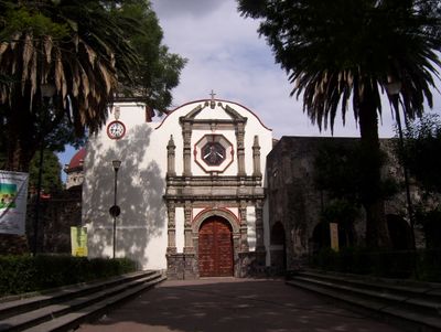
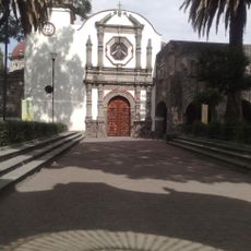
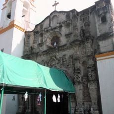
The region traces its roots to Aztec times when it served as an important trade and administrative center before Spanish conquest. After the colonial period, the area evolved from agricultural land into the modern urban structure visible today.

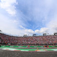
The neighborhood is closely tied to traditional Mexican celebrations and community gatherings that shape daily life for residents. These events show how local communities pass down their values and traditions.

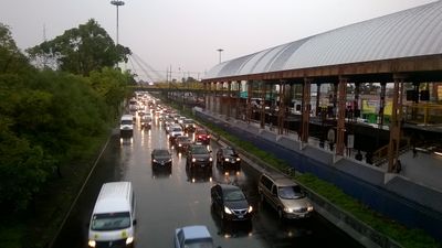
The district connects to central Mexico City through multiple transit lines and public transportation options. Visitors should note that hilly terrain may require longer walks to reach some areas.

The area contains important archaeological sites from Aztec times that tell the story of early settlement in this region. These remains offer glimpses into life here long before the modern city developed.

The community of curious travelers

AroundUs brings together thousands of curated places, local tips, and hidden gems, enriched daily by 60,000 contributors worldwide.

Start exploring
Location
Inception
1928
Elevation above the sea
2,236 m
GPS coordinates
19.39500,-99.09861
Latest update
December 14, 2025 19:29
« Tlalpan - Administrative district in northeastern Mexico City, Mexico » is provided by Around Us (aroundus.com). Images and texts are derived from Wikimedia project under a Creative Commons license. You are allowed to copy, distribute, and modify copies of this page, under the conditions set by the license, as long as this note is clearly visible.

Discover hidden gems everywhere you go!

From secret cafés to breathtaking viewpoints, skip the crowded tourist spots and find places that match your style. Our app makes it easy with voice search, smart filtering, route optimization, and insider tips from travelers worldwide. Download now for the complete mobile experience.

Around Us App Screenshot

A unique approach to discovering new places

Le Figaro

All the places worth exploring

France Info

A tailor-made excursion in just a few clicks

20 Minutes

Around Us
Travel Guide & Maps
Download

Send to your phone

QR Code
1

Open the camera app on your mobile.

2

Point at the QR code with your camera. A notification will appear.

3

Tap the notification to open the link.