Mexico City

Log in to your account

AroundUs is a community-driven map of interesting places, built by curious explorers like you. It grows with every review, story, and photo you share.
Connect to save your favorite spots, contribute locations, and create personalized routes.
By continuing, you accept our Terms and Conditions and our Privacy Policy
Add to collection
Map
Suggest a change
Share

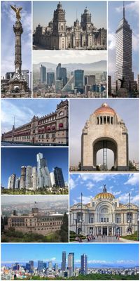
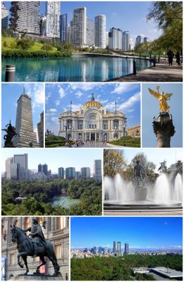
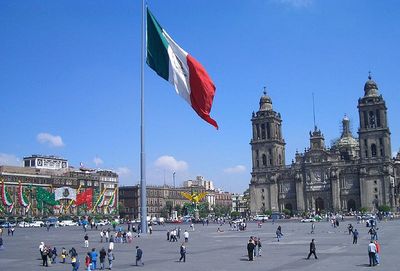
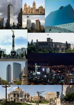
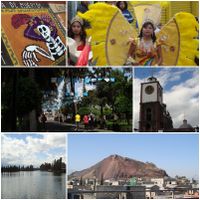
Mexico City, Administrative division in Mexico

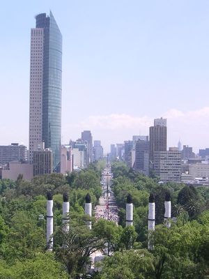
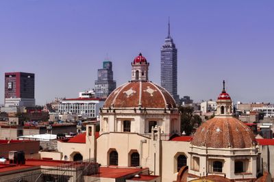
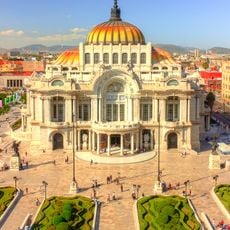
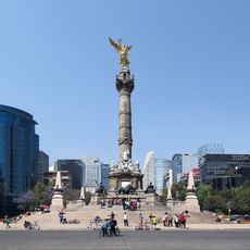
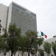
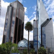
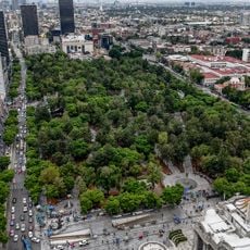
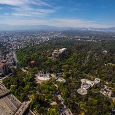
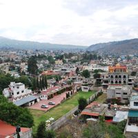
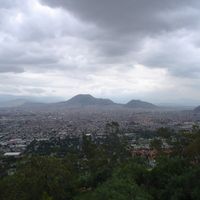
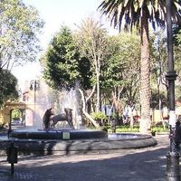
The capital and its surrounding state occupy a high-altitude basin in central Mexico, ringed by volcanic peaks and sitting at roughly 2240 meters (7350 feet) elevation. The administrative structure comprises 16 districts linking dense residential areas with large parks, pre-Columbian ruins and government complexes.

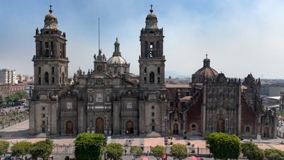
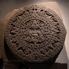
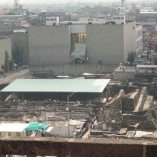
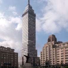
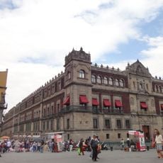
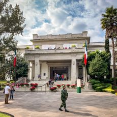
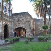
Spanish forces conquered the Aztec city of Tenochtitlan in 1521 and built the capital of New Spain directly over its foundations. The area became a federal territory in 1824, endured French occupation in the 1860s and gained full statehood with its own legislature in 2016.

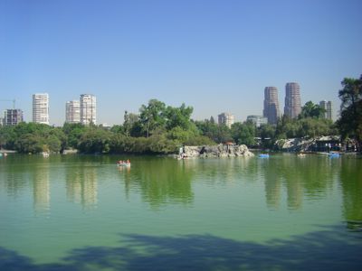
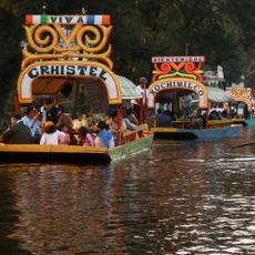
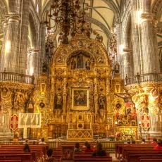
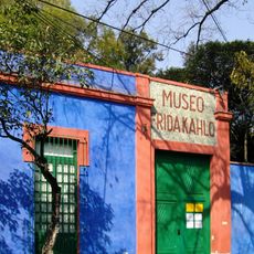
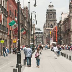
Daily markets, street festivals and religious processions blend indigenous traditions with Catholic customs, while families use parks for shared meals and musicians perform in public spaces. Neighborhoods center around taquerías, pulque bars and cantinas where locals gather to eat and socialize.

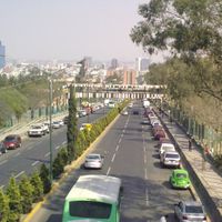
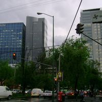
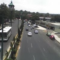
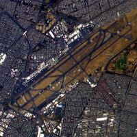
Metro lines and international bus services reach all districts and handle roughly one million riders each day. Rain falls mainly between May and October, while travelers should plan at least two days to adjust to the altitude.

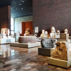
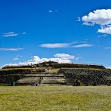
Archaeologists keep finding Aztec temple remains beneath colonial structures, with over 200 significant discoveries made in modern basements and subway tunnels. These remnants document continuous settlement on the same ground for seven centuries.

Location: Mexico

Inception: 1521

Founders: Antonio de Mendoza

Elevation above the sea: 2,240 m

Part of: Greater Mexico City

Shares border with: Morelos, State of Mexico

Address: Mexico City, CDMX, Mexico

Website: https://cdmx.gob.mx

GPS coordinates: 19.43263,-99.13318

Latest update: December 2, 2025 19:51

Historic and cultural sites in Mexico City

Mexico City combines Aztec and Spanish colonial history through monuments, museums, and archaeological sites. The National Palace displays Diego Rivera murals, while Chapultepec Castle offers city views. The Aztec ruins of Templo Mayor and Xochimilco canals complement the cultural heritage.

Reviews

Visited this place? Tap the stars to rate it and share your experience / photos with the community! Try now! You can cancel it anytime.

« Mexico City - Administrative division in Mexico » is provided by Around Us (aroundus.com). Images and texts are derived from Wikimedia project under a Creative Commons license. You are allowed to copy, distribute, and modify copies of this page, under the conditions set by the license, as long as this note is clearly visible.

Discover hidden gems everywhere you go!

From secret cafés to breathtaking viewpoints, skip the crowded tourist spots and find places that match your style. Our app makes it easy with voice search, smart filtering, route optimization, and insider tips from travelers worldwide. Download now for the complete mobile experience.

Around Us App Screenshot

A unique approach to discovering new places

Le Figaro

All the places worth exploring

France Info

A tailor-made excursion in just a few clicks

20 Minutes