Azcapotzalco, Administrative borough in northwestern Mexico City, Mexico.
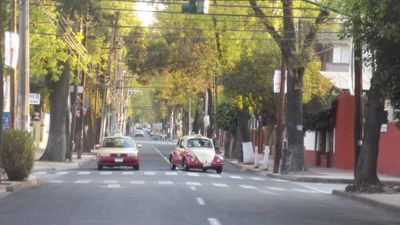
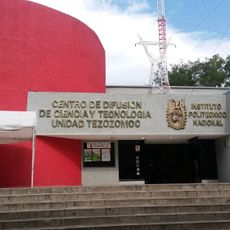
Azcapotzalco is an administrative borough in northwestern Mexico City covering roughly 34 square kilometers at an elevation of around 2252 meters. The territory contains 61 neighborhoods, 15 villages, and 11 traditional barrios that form a dense mix of residential and industrial zones.
Before the Spanish conquest, the area was the center of the powerful Tepanec kingdom that ruled large parts of the Valley of Mexico. After independence, it became a municipality and was transformed in 1928 into one of the first administrative divisions of the new capital.
The historic center carries the Barrio Mágico designation since 2011 and includes Plaza Hidalgo, where neighbors meet regularly for chess matches and neighborhood celebrations. The name itself comes from Náhuatl and means place of anthills, a reminder of the pre-Hispanic settlement.
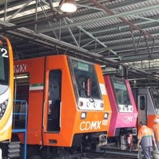
Several Metro stations and trolleybus lines connect residential and commercial areas, making it easier to find your way around the borough. Streets often follow a grid pattern, with denser neighborhoods clustered around the historic core.
For more than 475 years, local communities have celebrated the Fiesta de los Naturales, a multi-day festival with dances and processions before the pilgrimage to the Basilica of Guadalupe. The tradition combines pre-Hispanic elements with Catholic rites and draws groups from many neighborhoods.
The community of curious travelers
AroundUs brings together thousands of curated places, local tips, and hidden gems, enriched daily by 60,000 contributors worldwide.