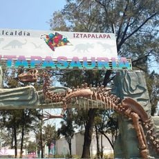
Iztapalapa, Administrative division in eastern Mexico City, Mexico
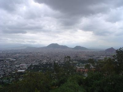
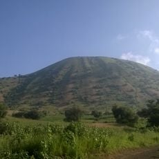
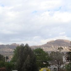
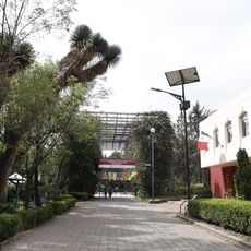
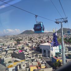
This area covers the eastern section of Mexico City and includes residential neighborhoods, commercial zones, and volcanic hills between the historic center and outer city limits. The territory developed around Cerro de la Estrella, an extinct volcanic cone that rises above the surrounding streets.
A pre-Columbian Aztec settlement stood here on an island in Lake Texcoco and served as a trading post before the Spanish conquest. The region was later formally renamed in 2006 to honor Cuitláhuac, the tenth Aztec emperor who briefly ruled during the conquest period.
The annual Passion Play gathers hundreds of neighbors on Cerro de la Estrella and draws people from across Mexico who have been making the pilgrimage around Easter for generations. The tradition transforms streets and hillsides into a living religious stage where families experience the biblical story through local performance.
The office for administrative services helps residents with permits, certificates, and documents for commercial activities in public markets. Visitors can walk through residential neighborhoods and explore local shops that offer daily services.
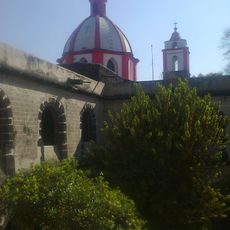
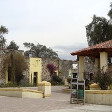
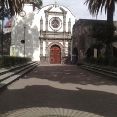
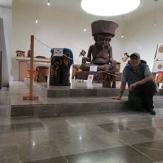
The museum inside the former Augustinian monastery of Culhuacán preserves frescoes from the 16th century within its walls and doubles as a cultural center for the community. The rooms connect colonial architecture with modern exhibitions that bring local history within reach.
The community of curious travelers
AroundUs brings together thousands of curated places, local tips, and hidden gems, enriched daily by 60,000 contributors worldwide.