Enable Location

We need your location to show you interesting places around you

Discover nearby places

Find interesting locations and hidden gems around you

Precise directions

Get accurate directions and distances to places

Your location is never shared with other users. It's only used when you tap the location button.

Log in to your account

Start exploring — it's free

Trusted by 62,889 travelers worldwide

Continue with Google
Continue with Apple
or

We will send you a code to connect

By continuing, you accept our Terms and Conditions and our Privacy Policy

Check your inbox

We've sent a pincode in your inbox. Please enter the code below.

Volcán Cacadeperro
Discussion Reviews Photo
6.8k Popularity

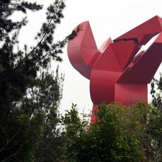
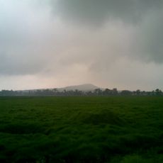
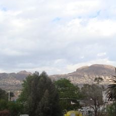
Volcán Cacadeperro, Volcano in Sierra de Santa Catarina, Mexico.

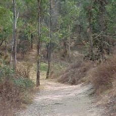
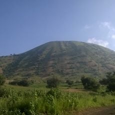
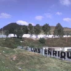
Volcán Cacadeperro rises from the Sierra de Santa Catarina with steep slopes and several hiking paths leading to different elevations. The cone displays typical volcanic features with dark volcanic rock that characterizes the landscape.

The volcano formed during intense geological activity in the Cenozoic era, contributing to the creation of Mexico Valley's current landscape. This volcanic activity was part of a larger process that shaped the entire highland region.

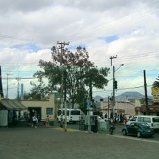
The volcano carries two names - Cacadeperro and Xaltepec - reflecting the linguistic diversity of local Mexican communities. This dual naming shows how the region has been shaped by different cultures across generations.

The volcano is accessible through marked hiking trails, with best visibility during morning hours from October through April. The paths can be uneven, so sturdy footwear is recommended, and visitors should prepare for changing elevation gains.

This formation belongs to the Transmexican Volcanic Belt, which stretches across hundreds of kilometers with many geological features. The location provides insight into volcanic geology that shapes the highland region.

The community of curious travelers

AroundUs brings together thousands of curated places, local tips, and hidden gems, enriched daily by 60,000 contributors worldwide.

Start exploring
GPS coordinates
19.31980,-99.03060
Latest update
December 9, 2025 18:42
« Volcán Cacadeperro - Volcano in Sierra de Santa Catarina, Mexico » is provided by Around Us (aroundus.com). Images and texts are derived from Wikimedia project under a Creative Commons license. You are allowed to copy, distribute, and modify copies of this page, under the conditions set by the license, as long as this note is clearly visible.

Discover hidden gems everywhere you go!

From secret cafés to breathtaking viewpoints, skip the crowded tourist spots and find places that match your style. Our app makes it easy with voice search, smart filtering, route optimization, and insider tips from travelers worldwide. Download now for the complete mobile experience.

Around Us App Screenshot

A unique approach to discovering new places

Le Figaro

All the places worth exploring

France Info

A tailor-made excursion in just a few clicks

20 Minutes

Around Us
Travel Guide & Maps
Download

Send to your phone

QR Code
1

Open the camera app on your mobile.

2

Point at the QR code with your camera. A notification will appear.

3

Tap the notification to open the link.