Enable Location

We need your location to show you interesting places around you

Discover nearby places

Find interesting locations and hidden gems around you

Precise directions

Get accurate directions and distances to places

Your location is never shared with other users. It's only used when you tap the location button.

Coyoacán

Log in to your account

Start exploring — it's free

Trusted by 61,564 travelers worldwide

Continue with Google
Continue with Apple
or

We will send you a code to connect

By continuing, you accept our Terms and Conditions and our Privacy Policy

Check your inbox

We've sent a pincode in your inbox. Please enter the code below.

Coyoacán, Administrative borough in Mexico City, Mexico

Description

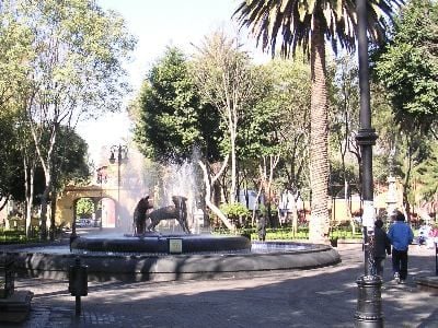
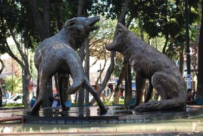
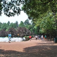
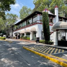
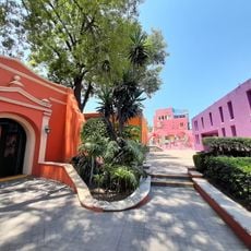
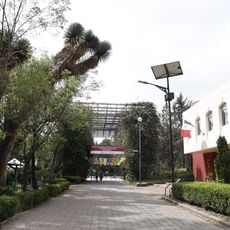
Coyoacán is a borough in the southern part of the capital, marked by residential areas with paved lanes and green spaces. The streets follow an irregular pattern that organizes itself around several smaller plazas and parks where old trees provide shade.

History

The settlement served as a provisional seat of power after conquest before the government moved to another location. The village retained importance as a suburb over centuries and was incorporated into the growing metropolis during the 20th century.

Culture

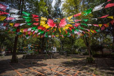
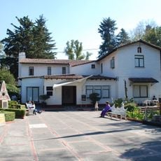
The streets still carry names from old haciendas and key figures from colonial times, while residents spend weekends on the public squares. Cafés and bookshops around the main plaza serve as meeting points for neighbors, artists and students who regard the borough as a creative hub.

Practical

A visit typically takes several hours as markets, lanes and courtyards are explored on foot. Most visitors come on weekends when the plazas are livelier and street vendors set up their stalls.

Did you know?

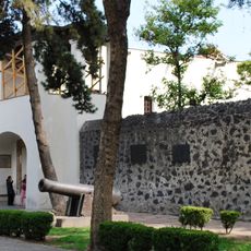
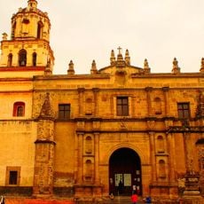
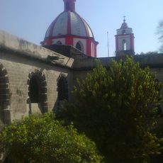
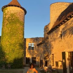
Some of the houses still preserve small plaques from colonial times that tell of original owners or craftsmen who lived there. On certain corners stand fountains from the 16th century that now serve as landmarks for walkers.

Location
Inception
1928
Elevation above the sea
2,253 m
GPS coordinates
19.35000,-99.16222
Latest update
December 15, 2025 00:40

AroundUs brings together thousands of curated places, local tips, and hidden gems, enriched daily by 60,000 contributors worldwide. Discover all places nearby (Mexico City).

Historic and cultural sites in Mexico City

Mexico City weaves together Aztec and Spanish colonial history through monuments, museums, and archaeological sites spread across the metropolis. The National Palace displays Diego Rivera's murals depicting Mexican history, while Chapultepec Castle provides views over the sprawling urban landscape....

« Coyoacán - Administrative borough in Mexico City, Mexico » is provided by Around Us (aroundus.com). Images and texts are derived from Wikimedia project under a Creative Commons license. You are allowed to copy, distribute, and modify copies of this page, under the conditions set by the license, as long as this note is clearly visible.

Discover hidden gems everywhere you go!

From secret cafés to breathtaking viewpoints, skip the crowded tourist spots and find places that match your style. Our app makes it easy with voice search, smart filtering, route optimization, and insider tips from travelers worldwide. Download now for the complete mobile experience.

Around Us App Screenshot

A unique approach to discovering new places

Le Figaro

All the places worth exploring

France Info

A tailor-made excursion in just a few clicks

20 Minutes

Around Us
Travel Guide & Maps
Download

Send to your phone

QR Code
1

Open the camera app on your mobile.

2

Point at the QR code with your camera. A notification will appear.

3

Tap the notification to open the link.