Benito Juárez, Administrative district in Mexico City, Mexico
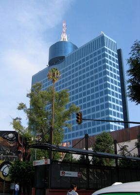
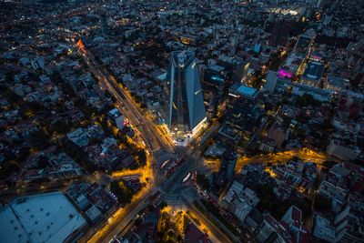
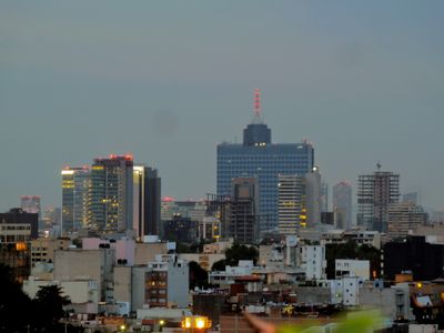
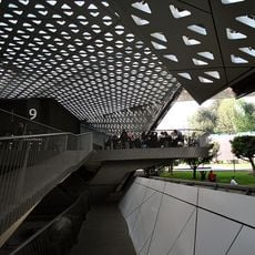
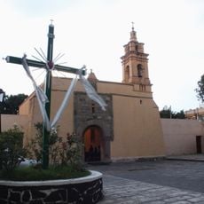
Benito Juárez is an administrative district in the central part of Mexico City, sitting at an elevation of approximately 2,232 meters (7,323 feet), covering roughly 26.63 square kilometers (10.28 square miles). The district divides into 56 neighborhoods spread between modern residential areas and mixed zones, with varied building styles and street patterns shaping the layout.
The district was created in the early 1940s during a reorganization of Mexico City's administrative structure. Its current boundaries were formalized on December 29, 1970, when it received its name honoring President Benito Juárez García.
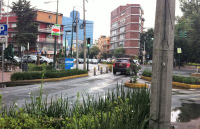
The roughly 430,000 residents live in densely built neighborhoods such as Narvarte and Del Valle, where markets and small plazas shape daily routines. Streets mix apartment buildings, local restaurants and shops that define how people move through and use the district.
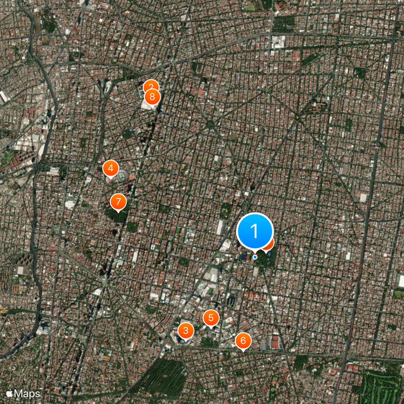
The district borders Miguel Hidalgo and Cuauhtémoc to the north, Álvaro Obregón to the west, Coyoacán to the south, and Iztacalco to the east. This central position makes orientation straightforward, with access to neighboring districts through major roads.
The district records the highest Human Development Index in all of Mexico, with a score of 0.944. It also leads the country in per capita income, surpassing every other region.
The community of curious travelers
AroundUs brings together thousands of curated places, local tips, and hidden gems, enriched daily by 60,000 contributors worldwide.