Enable Location

We need your location to show you interesting places around you

Discover nearby places

Find interesting locations and hidden gems around you

Precise directions

Get accurate directions and distances to places

Your location is never shared with other users. It's only used when you tap the location button.

Miguel Hidalgo

Log in to your account

Join the adventure

Create your free account and start exploring (like 60k+ others)

We will send you a code to connect

or
Continue with Google
Continue with Apple
By continuing, you accept our Terms and Conditions and our Privacy Policy

Check your inbox

We've sent a pincode in your inbox. Please enter the code below.

Miguel Hidalgo, Administrative district in Mexico City, Mexico

Description

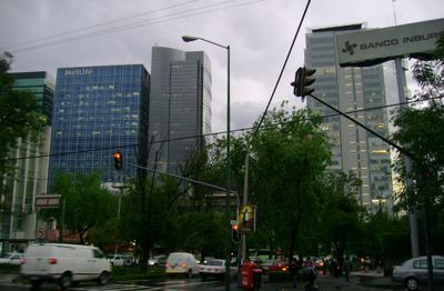
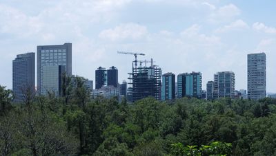
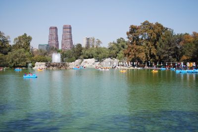
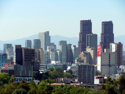
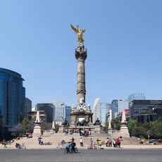
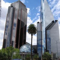
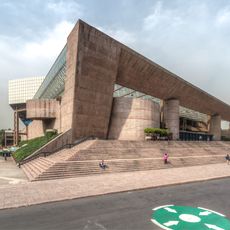
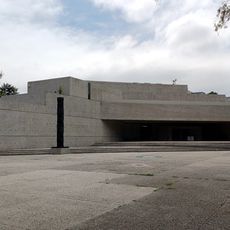
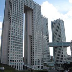
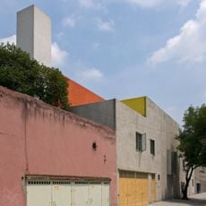
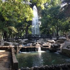
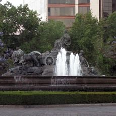
Miguel Hidalgo is an administrative district in the western part of Mexico City that includes neighborhoods like Polanco with its embassies and restaurants, old Tacuba, and the green slopes of Lomas de Chapultepec. The district stretches from the center to the hills, connecting dense residential streets with the large park of Chapultepec and its forests.

History

The current administrative unit formed from the merger of earlier municipalities like Tacuba, an old pre-Hispanic settlement, and Tacubaya, which developed during the 19th century. The district received its name in 1928 after the leader of the independence movement.

Culture

The name honors a priest who began the fight for independence in 1810, and today visitors find cafés, galleries, and shops along the wide streets of Polanco. In Chapultepec, families gather under the trees on weekends while joggers run the paths early in the morning.

Practical

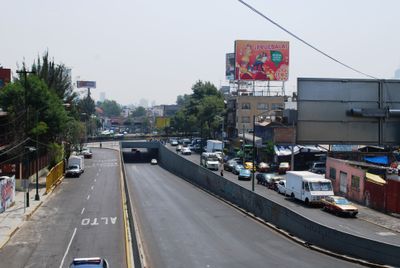
Several metro stations connect the area to the rest of the city, and main roads run through different neighborhoods from north to south. Visitors find less traffic in residential zones on weekdays, while the park becomes especially busy on weekends.

Did you know?

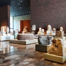
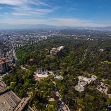
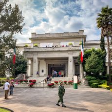
On the hill of Chapultepec stands an 18th-century castle that once served as residence for emperors and presidents and now houses a museum. From its terraces you can see the city, the forests, and the wide valley all around.

Location
Elevation above the sea
2,273 m
GPS coordinates
19.40667,-99.19111
Latest update
December 13, 2025 19:12

AroundUs brings together thousands of curated places, local tips, and hidden gems, enriched daily by 60,000 contributors worldwide. Discover all places nearby (Mexico City).

« Miguel Hidalgo - Administrative district in Mexico City, Mexico » is provided by Around Us (aroundus.com). Images and texts are derived from Wikimedia project under a Creative Commons license. You are allowed to copy, distribute, and modify copies of this page, under the conditions set by the license, as long as this note is clearly visible.

Discover hidden gems everywhere you go!

From secret cafés to breathtaking viewpoints, skip the crowded tourist spots and find places that match your style. Our app makes it easy with voice search, smart filtering, route optimization, and insider tips from travelers worldwide. Download now for the complete mobile experience.

Around Us App Screenshot

A unique approach to discovering new places

Le Figaro

All the places worth exploring

France Info

A tailor-made excursion in just a few clicks

20 Minutes

Around Us
Travel Guide & Maps
Download

Send to your phone

QR Code
1

Open the camera app on your mobile.

2

Point at the QR code with your camera. A notification will appear.

3

Tap the notification to open the link.