Enable Location

We need your location to show you interesting places around you

Discover nearby places

Find interesting locations and hidden gems around you

Precise directions

Get accurate directions and distances to places

Your location is never shared with other users. It's only used when you tap the location button.

Venustiano Carranza

Log in to your account

Start exploring — it's free

Trusted by 62,902 travelers worldwide

Continue with Google
Continue with Apple
or

We will send you a code to connect

By continuing, you accept our Terms and Conditions and our Privacy Policy

Check your inbox

We've sent a pincode in your inbox. Please enter the code below.

Discussion Reviews 5 Photos
42.1k Popularity

Venustiano Carranza, Administrative district in eastern Mexico City, Mexico.

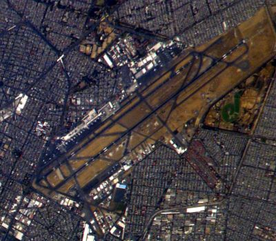
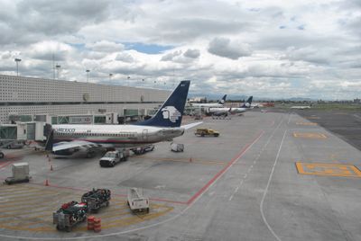
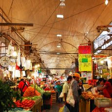
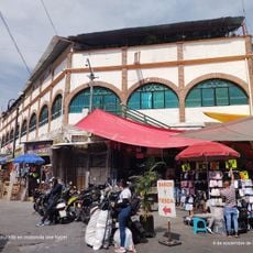
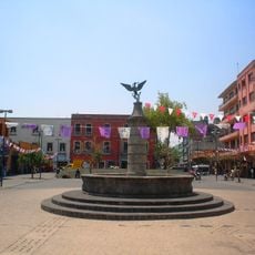
Venustiano Carranza is an administrative district in central-eastern Mexico City spanning a large area with numerous residential neighborhoods and three major traditional markets. The area is shaped by its mix of established residential structures, commerce, and important public infrastructure including the international airport.

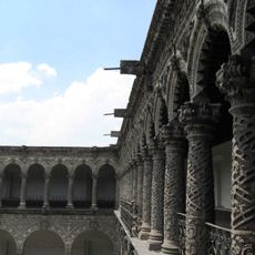
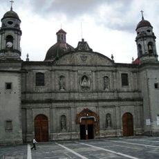
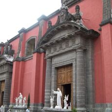
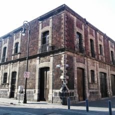
The territory emerged on the ground of Lake Texcoco centuries ago as Spanish and Aztec settlers transformed swampland into urban space during the colonial period. This gradual conversion from water to built land shaped the region's development for generations.

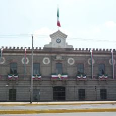
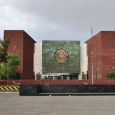
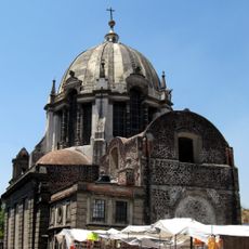
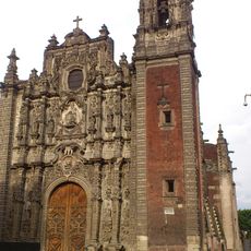
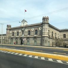
The district contains the National Archives of Mexico, housed in the former Lecumberri Palace, where visitors can view documents spanning different periods. Educational institutions and cultural centers throughout the area shape the intellectual character of the neighborhood.

The district is easily accessed through the international airport and the TAPO bus terminal system, which provides connections to the east and southeast. Visitors should know that public transit including metro and buses runs throughout the area, making the main markets readily accessible.

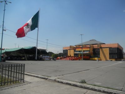
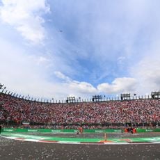
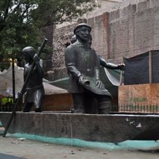
In the area, residents at Peñon de los Baños perform an annual reenactment of the Battle of Puebla dressed in period military uniforms and firing real cannons. This local tradition blends historical remembrance with living community practice.

The community of curious travelers

AroundUs brings together thousands of curated places, local tips, and hidden gems, enriched daily by 60,000 contributors worldwide.

Start exploring
Location
Inception
1970
Elevation above the sea
2,237 m
GPS coordinates
19.41667,-99.11389
Latest update
December 17, 2025 07:52
Reviews
Share your experience

No review yet

Discussions
Start a discussion...

No discussion yet

« Venustiano Carranza - Administrative district in eastern Mexico City, Mexico » is provided by Around Us (aroundus.com). Images and texts are derived from Wikimedia project under a Creative Commons license. You are allowed to copy, distribute, and modify copies of this page, under the conditions set by the license, as long as this note is clearly visible.

Discover hidden gems everywhere you go!

From secret cafés to breathtaking viewpoints, skip the crowded tourist spots and find places that match your style. Our app makes it easy with voice search, smart filtering, route optimization, and insider tips from travelers worldwide. Download now for the complete mobile experience.

Around Us App Screenshot

A unique approach to discovering new places

Le Figaro

All the places worth exploring

France Info

A tailor-made excursion in just a few clicks

20 Minutes

Around Us
Travel Guide & Maps
Download

Send to your phone

QR Code
1

Open the camera app on your mobile.

2

Point at the QR code with your camera. A notification will appear.

3

Tap the notification to open the link.