Álvaro Obregón

Log in to your account

AroundUs is a community-driven map of interesting places, built by curious explorers like you. It grows with every review, story, and photo you share.
Connect to save your favorite spots, contribute locations, and create personalized routes.
Continue with Google
Continue with Apple
Continue with X
Continue with Facebook
Continue with email
By continuing, you accept our Terms and Conditions and our Privacy Policy
Create an account
Add to collection
Map
Suggest a change
Share

Álvaro Obregón, Administrative division in western Mexico City, Mexico.

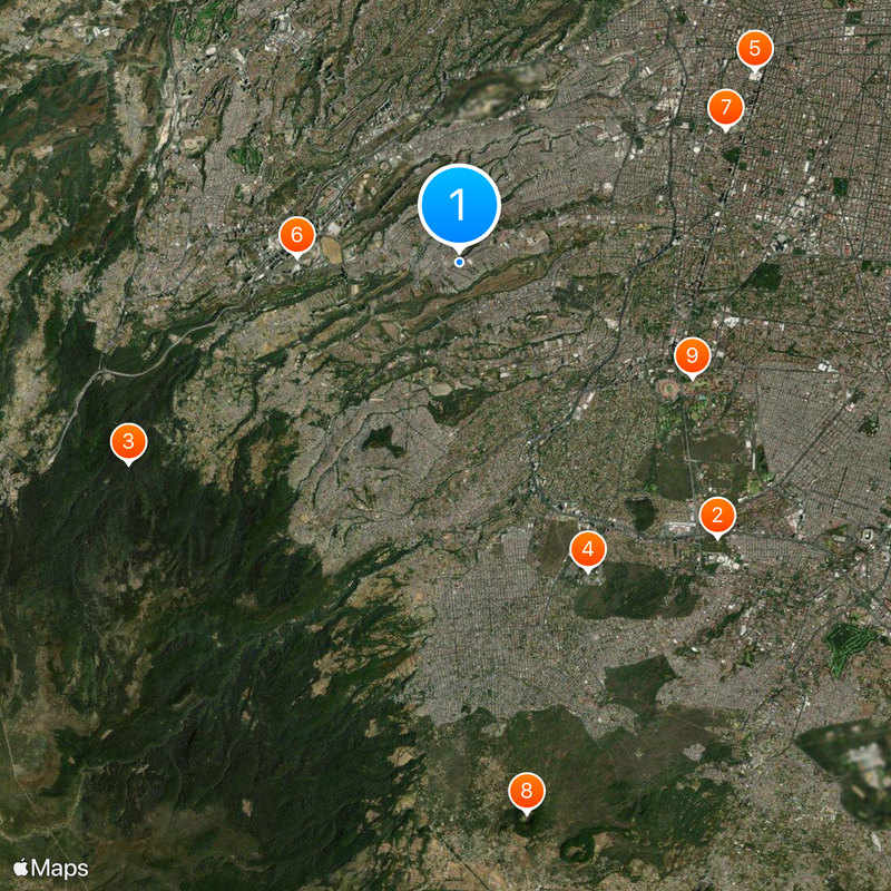
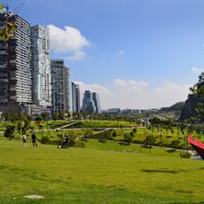
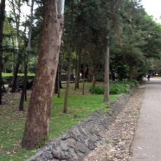
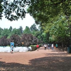
This western administrative unit covers 96 square kilometers and ranges from low valleys in the east to forested slopes near the city mountains. The area includes residential zones, business districts and several parks crossed by major roads.

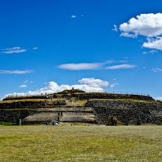
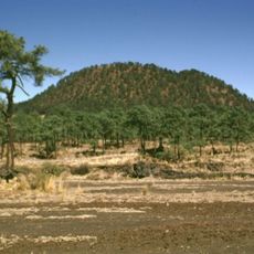
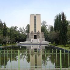
The area took its name from Revolution general Álvaro Obregón, who was shot in a restaurant here in 1928. Archaeologists found Ice Age fossils near San Bartolo Ameyalco in the late 1950s.

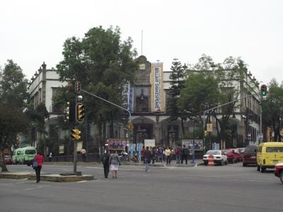
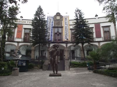
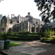
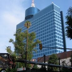
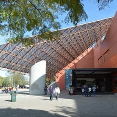
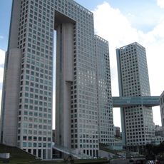
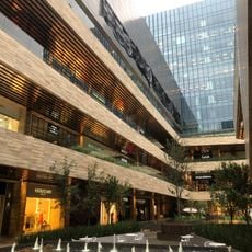
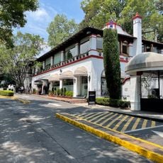
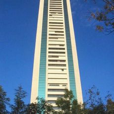
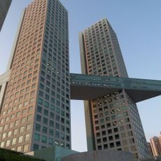
The Japanese Mexican Cultural Center in Santa Fe offers language classes, film screenings and tea ceremonies open to visitors of all ages. The western part of the area shows residential neighborhoods with narrow streets and small plazas, while the eastern high-rise district is defined by offices and shopping centers.

Temperatures remain comfortable year-round, with rainy months from April to June keeping plants in the parks green. Public transport connects the eastern parts well to the center, while the western slopes are quieter and less accessible.

Paleontologists recovered horse and mammoth skeletons in 1959 from a valley that had kept them buried tens of thousands of years beneath the surface. The discovery site sits in what is now a built-up neighborhood, though some fossils are kept in local museums.

Location: Mexico City

Inception: 1928

Elevation above the sea: 2,373 m

Website: http://aao.cdmx.gob.mx

GPS coordinates: 19.35639,-99.23611

Latest update: December 13, 2025 17:57

Photos
Reviews

Visited this place? Tap the stars to rate it and share your experience / photos with the community! Try now! You can cancel it anytime.

« Álvaro Obregón - Administrative division in western Mexico City, Mexico » is provided by Around Us (aroundus.com). Images and texts are derived from Wikimedia project under a Creative Commons license. You are allowed to copy, distribute, and modify copies of this page, under the conditions set by the license, as long as this note is clearly visible.

Discover hidden gems everywhere you go!

From secret cafés to breathtaking viewpoints, skip the crowded tourist spots and find places that match your style. Our app makes it easy with voice search, smart filtering, route optimization, and insider tips from travelers worldwide. Download now for the complete mobile experience.

Around Us App Screenshot

A unique approach to discovering new places

Le Figaro

All the places worth exploring

France Info

A tailor-made excursion in just a few clicks

20 Minutes