Zumpango Municipality, Administrative municipality in State of Mexico, Mexico.
Zumpango is an administrative territory in the northeastern part of the State of Mexico, covering 244 square kilometers. The landscape alternates between flat plains and gentle hills, crossed by wide roads and rural paths.
The first settlements appeared here already in 200 BCE, when people began to inhabit the flat land and hills. Between 100 and 700 CE the area developed into a center for ceramic production, before later becoming part of the Aztec Empire.
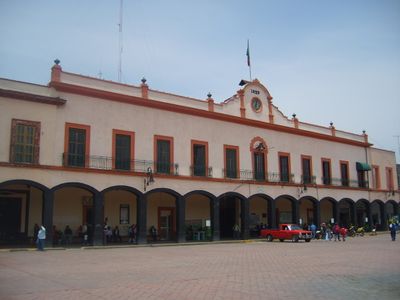
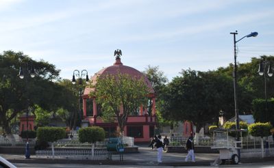
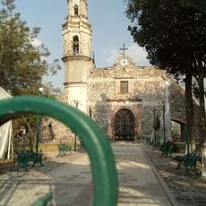
The name Zumpango comes from Nahuatl and means "place of skulls", referring to earlier rituals and symbols in the region. Today you can see architectural traces of this indigenous past throughout the municipality, especially at public buildings and plazas.
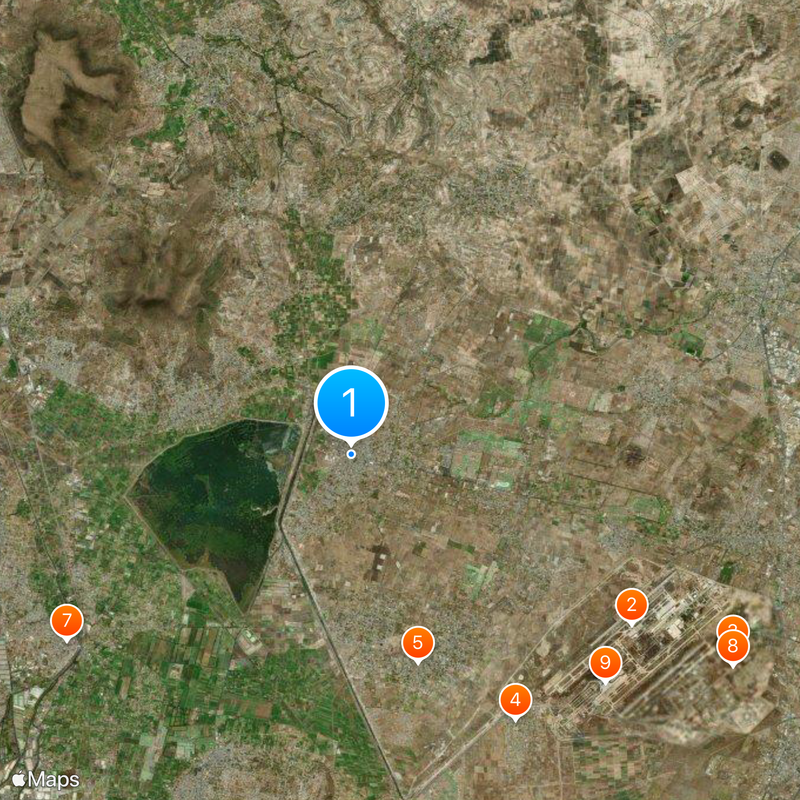
The area sits close enough to the capital to be reached by car or bus in about an hour. Felipe Ángeles Airport offers a second connection for travelers visiting the Greater Mexico City area.
Archaeologists discovered the remains of 60 mammoths and 15 human skeletons near Santa Lucia airport, pointing to prehistoric settlement. This site ranks among the most important paleontological discoveries in central Mexico in recent years.
Location: State of Mexico
Capital city: Zumpango de Ocampo
Elevation above the sea: 2,261 m
Website: http://zumpango.gob.mx
GPS coordinates: 19.79694,-99.09917
Latest update: December 5, 2025 16:35
Pyramid of the Moon
28.8 km
Museo Nacional del Virreinato
15.9 km
Santa Lucía Air Force Base Num 1
10.1 km
Puente de Fierro
22.8 km
Church of San Francisco Javier, Tepotzotlán
15.9 km
Tepotzotlán Aqueduct
25.4 km
Infonavit Norte
18.3 km
Mexican Air Force Museum
13.2 km
Quetzalpapálotl
28.8 km
National Pyrotechnic Festival
12.8 km
Saint Christopher Church, Ecatepec de Morelos, Estado de México, México
22.6 km
Balneario Vito
25.3 km
St. Bonaventure Cathedral, Cuautitlán
16.5 km
Cathedral of the Sacred Heart of Jesus
22.7 km
Santiago Apóstol parish in Tequixquiac
13.6 km
Archaeological Museum Apaxco
21.4 km
Mamut de Tultepec
12.8 km
Museo Xaltocan
9.6 km
Museum of Man Tepexpan
25.9 km
Letras Pueblo Mágico Tepotzotlan
15.9 km
Museum San Jeronimo Xonacahuacan
16.4 km
Galeria De Arte Del Genoma Mesoamericano
22.8 km
Museo Nacional de la Pirotecnia (MUNAPI)
12.9 km
Museo Arqueológico de Coyotepec Ehecalli
10.4 km
Toscana Alta La Palma
16.6 km
Museo del Ferrocarrilero
11.6 km
Текіскьяк
21.9 km
La Magdalena
18.2 kmReviews
Visited this place? Tap the stars to rate it and share your experience / photos with the community! Try now! You can cancel it anytime.
Discover hidden gems everywhere you go!
From secret cafés to breathtaking viewpoints, skip the crowded tourist spots and find places that match your style. Our app makes it easy with voice search, smart filtering, route optimization, and insider tips from travelers worldwide. Download now for the complete mobile experience.
A unique approach to discovering new places❞
— Le Figaro
All the places worth exploring❞
— France Info
A tailor-made excursion in just a few clicks❞
— 20 Minutes