Tecámac Municipality

Log in to your account

AroundUs is a community-driven map of interesting places, built by curious explorers like you. It grows with every review, story, and photo you share.
Connect to save your favorite spots, contribute locations, and create personalized routes.
By continuing, you accept our Terms and Conditions and our Privacy Policy
Add to collection
Map
Suggest a change
Share

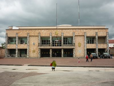
Tecámac Municipality, Administrative municipality in State of Mexico, Mexico

Tecámac is an administrative division in northeastern State of Mexico covering territory at 2274 meters elevation. The area encompasses several settlements with residential neighborhoods, schools, and health centers linked by roads and public transport.

The creation as a separate administrative unit took place on September 12, 1825 following political reforms of the early Mexican republic. This decision granted the territory its own local government and administrative autonomy within the state.

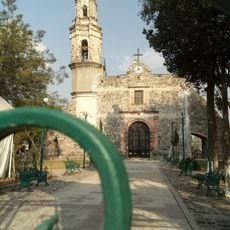
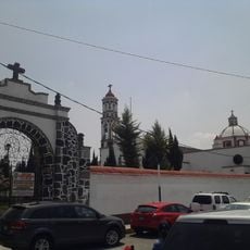
The name comes from náhuatl roots combining "tetl" for stone with "calli" for house. Visitors today see residential districts with market squares and churches where neighbors gather for shopping and worship services.

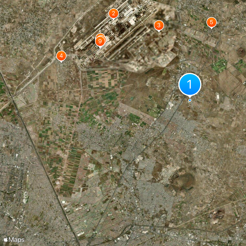
Access runs through federal highways reachable from Mexico City and other state cities. Bus lines operate regularly between the different settlements, connecting residents with workplaces and services.

Ojo de Agua stands as the largest residential settlement within municipal boundaries despite not serving as the administrative seat. This characteristic makes it the largest locality in Mexico without official status as a municipal capital.

Location: State of Mexico

Inception: September 12, 1825

Capital city: Tecámac de Felipe Villanueva

Elevation above the sea: 2,274 m

Website: http://tecamac.gob.mx

GPS coordinates: 19.70000,-98.96667

Latest update: December 4, 2025 23:42

Photos
Reviews

Visited this place? Tap the stars to rate it and share your experience / photos with the community! Try now! You can cancel it anytime.

« Tecámac Municipality - Administrative municipality in State of Mexico, Mexico » is provided by Around Us (aroundus.com). Images and texts are derived from Wikimedia project under a Creative Commons license. You are allowed to copy, distribute, and modify copies of this page, under the conditions set by the license, as long as this note is clearly visible.

Discover hidden gems everywhere you go!

From secret cafés to breathtaking viewpoints, skip the crowded tourist spots and find places that match your style. Our app makes it easy with voice search, smart filtering, route optimization, and insider tips from travelers worldwide. Download now for the complete mobile experience.

Around Us App Screenshot

A unique approach to discovering new places

Le Figaro

All the places worth exploring

France Info

A tailor-made excursion in just a few clicks

20 Minutes